

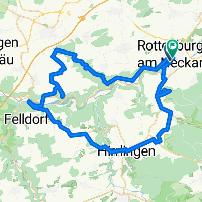
Koenigliche_Jagthuette
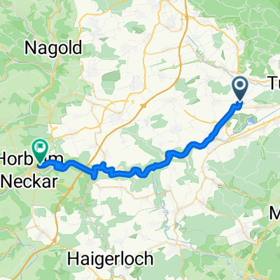
A cycling route starting in Rottenburg, Baden-Wurttemberg, Germany.
Overview
About this route
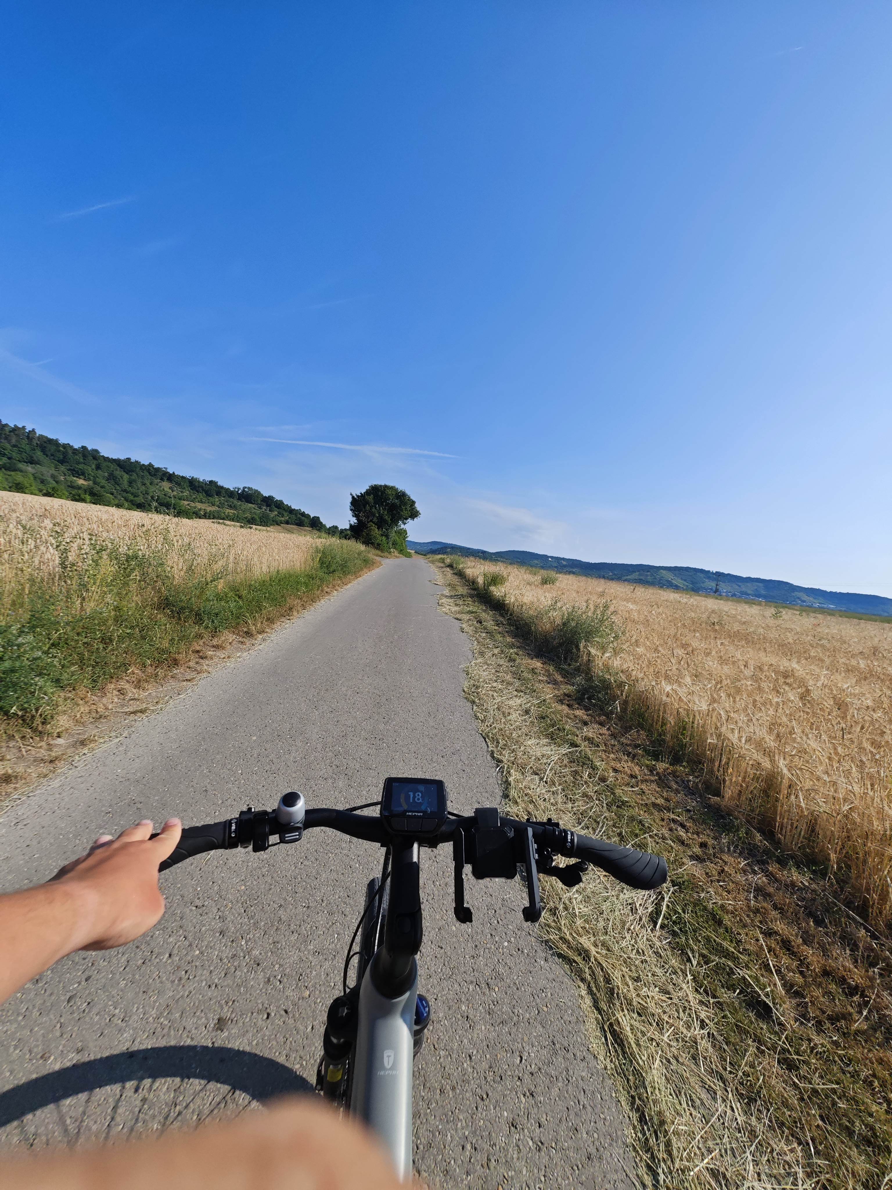
3.5 hours drive in the evening, mountain bike route.
- -:--
- Duration
- 36.1 km
- Distance
- 365 m
- Ascent
- 365 m
- Descent
- ---
- Avg. speed
- ---
- Max. altitude
Route quality
Waytypes & surfaces along the route
Waytypes
Track
23.1 km
(64 %)
Quiet road
8.3 km
(23 %)
Surfaces
Paved
24.9 km
(69 %)
Unpaved
9 km
(25 %)
Asphalt
24.6 km
(68 %)
Gravel
7.9 km
(22 %)
Continue with Bikemap
Use, edit, or download this cycling route
You would like to ride Koenigliche_Jagthuette or customize it for your own trip? Here is what you can do with this Bikemap route:
Free features
- Save this route as favorite or in collections
- Copy & plan your own version of this route
- Sync your route with Garmin or Wahoo
Premium features
Free trial for 3 days, or one-time payment. More about Bikemap Premium.
- Navigate this route on iOS & Android
- Export a GPX / KML file of this route
- Create your custom printout (try it for free)
- Download this route for offline navigation
Discover more Premium features.
Get Bikemap PremiumFrom our community
Other popular routes starting in Rottenburg
 Rauschbart Horb Neckartatlroute
- Distance
- 31.2 km
- Ascent
- 630 m
- Descent
- 544 m
- Location
- Rottenburg, Baden-Wurttemberg, Germany
 Rottenburg-Tübingen
- Distance
- 55.3 km
- Ascent
- 233 m
- Descent
- 232 m
- Location
- Rottenburg, Baden-Wurttemberg, Germany
 Aiblestraße nach Sinsheimer Straße
- Distance
- 113.1 km
- Ascent
- 974 m
- Descent
- 1,151 m
- Location
- Rottenburg, Baden-Wurttemberg, Germany
 Neckarrunde
- Distance
- 45.3 km
- Ascent
- 283 m
- Descent
- 281 m
- Location
- Rottenburg, Baden-Wurttemberg, Germany
 Kornbühlrunde
- Distance
- 88.8 km
- Ascent
- 986 m
- Descent
- 958 m
- Location
- Rottenburg, Baden-Wurttemberg, Germany
 Karfreitag 2020
- Distance
- 27.4 km
- Ascent
- 584 m
- Descent
- 583 m
- Location
- Rottenburg, Baden-Wurttemberg, Germany
 Koenigliche_Jagthuette
- Distance
- 36.1 km
- Ascent
- 365 m
- Descent
- 365 m
- Location
- Rottenburg, Baden-Wurttemberg, Germany
 Burgen & Schlösser - Tour | Neckartal-Runde
- Distance
- 47.6 km
- Ascent
- 905 m
- Descent
- 906 m
- Location
- Rottenburg, Baden-Wurttemberg, Germany
Open it in the app