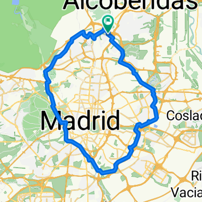
Montecarmelo - Soto de ViƱuelas

A cycling route starting in Las Tablas, Madrid, Spain.

Overview

About this route

16

Montecarmelo - Soto de ViƱuelas

Translated, show original (Spanish)
-:--
Duration
53.1 km
Distance
369 m
Ascent
379 m
Descent
---
Avg. speed
---
Max. altitude
PQTbyBike

created this 8 years ago

Route photos

Photo 1 of the Bikemap route "Montecarmelo - Soto de ViƱuelas"Photo 2 of the Bikemap route "Montecarmelo - Soto de ViƱuelas"Photo 3 of the Bikemap route "Montecarmelo - Soto de ViƱuelas"

Route quality

Waytypes & surfaces along the route

Waytypes

  • Cycleway

    20.7 km

    39 %

  • Track

    17 km

    32 %

  • Path

    6.9 km

    13 %

Surfaces

Paved

15.4 km

(29 %)

Unpaved

21.2 km

(40 %)

  • Ground

    17.5 km

    33 %

  • Asphalt

    12.7 km

    24 %

  • Gravel

    3.7 km

    7 %

Continue with Bikemap

Use, edit, or download this cycling route

You would like to ride Montecarmelo - Soto de ViƱuelas or customize it for your own trip? Here is what you can do with this Bikemap route:

Free features

Premium features

Free trial for 3 days, or one-time payment. More about Bikemap Premium.

  • Navigate this route on iOS & Android
  • Export a GPX / KML file of this route
  • Create your custom printout (try it for free)
  • Download this route for offline navigation

Discover more Premium features.

Get Bikemap Premium

From our community

Other popular routes starting in Las Tablas

Open it in the app