Girolibero: Sulle tracce dei romani da Schärding a Salisburgo
- 168.4 km
- 0 m
- 0 m
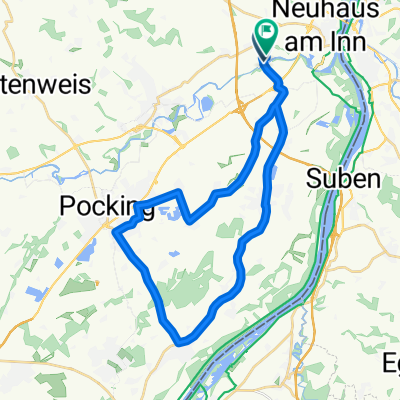
- Neuburg am Inn, Bavaria, Germany
A cycling route starting in Neuburg am Inn, Bavaria, Germany.
Overview
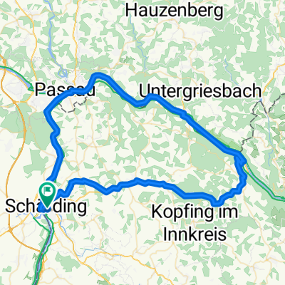
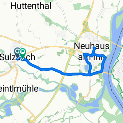
Wernstein - R3/INN - SCHÄRDING - R3/INN - St. Florian - R3/INN - Suben - R3/INN - Reichersberg - R3/INN - Obernberg - Innbrücke - Bad Füssing - POCKING - Rott - Ruhstorf a. d. Rott - PA10 - Grund - PA10 - Bad Höhenstadt - PA10 - Kemating - PA10 - Aspertsham - Fluggelaände Fürstenzell - Bhf. Neukirchen (Inn) - Kälberbach - PA11 - Fürstdobl - PA11 - St2110 - Dommelstadl - St2110 - Neuburg am Inn - Innsteg - Wernstein
created this 8 years ago
Route quality
Cycleway
20.9 km
(30 %)
Road
18.8 km
(27 %)
Paved
39.7 km
(57 %)
Unpaved
12.5 km
(18 %)
Asphalt
39.7 km
(57 %)
Gravel
8.4 km
(12 %)
Route highlights
Marktplatz Obernberg am Inn
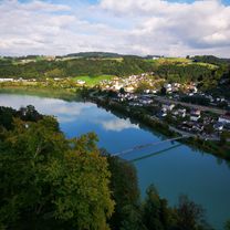
Inn
McDonalds
Schloss Neuburg
Inn
Innsteg
Landhotel Mariensäule
Mariensäule
Burg Wernstein
Continue with Bikemap
You would like to ride BAY 010: Innviertel or customize it for your own trip? Here is what you can do with this Bikemap route:
Free trial for 3 days, or one-time payment. More about Bikemap Premium.
Discover more Premium features.
Get Bikemap PremiumFrom our community
Open it in the app