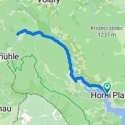
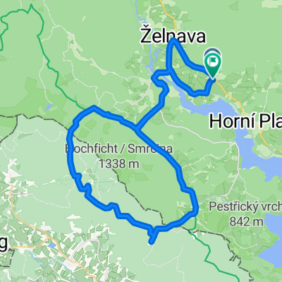
Okolo půl Lipna
- 53.7 km
- 275 m
- 276 m
- Horní Planá, Jihočeský kraj, Czechia
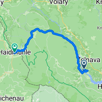
Južna Češka
A cycling route starting in Horní Planá, Jihočeský kraj, Czechia.
Overview
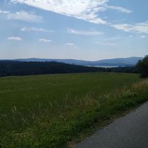
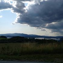
Olšina - Horni Plana - Bližší Lhova - Nova Peč - Jeleni - Stožec (break) - Vltavski Luh - Ob Vltavi - Nova Peč - Pernel Hodnov - Olšina
created this 8 years ago
Part of
9 stages
Route quality
Quiet road
52.9 km
(61 %)
Track
14.8 km
(17 %)
Paved
67.7 km
(78 %)
Unpaved
4.3 km
(5 %)
Asphalt
54.7 km
(63 %)
Paved (undefined)
13 km
(15 %)
Continue with Bikemap
You would like to ride Južna Češka 2. dan - Šumava or customize it for your own trip? Here is what you can do with this Bikemap route:
Free trial for 3 days, or one-time payment. More about Bikemap Premium.
Discover more Premium features.
Get Bikemap PremiumFrom our community
Open it in the app