
MTB Tour 27.02.2010
A cycling route starting in Wenzenbach, Bavaria, Germany.
Overview
About this route
Teilweise querfeldein durch Wald und Schnee. Hohe Linie noch vereist und schneebedeckt.
- -:--
- Duration
- 26.8 km
- Distance
- 381 m
- Ascent
- 375 m
- Descent
- ---
- Avg. speed
- ---
- Max. altitude

Continue with Bikemap
Use, edit, or download this cycling route
You would like to ride MTB Tour 27.02.2010 or customize it for your own trip? Here is what you can do with this Bikemap route:
Free features
- Save this route as favorite or in collections
- Copy & plan your own version of this route
- Sync your route with Garmin or Wahoo
Premium features
Free trial for 3 days, or one-time payment. More about Bikemap Premium.
- Navigate this route on iOS & Android
- Export a GPX / KML file of this route
- Create your custom printout (try it for free)
- Download this route for offline navigation
Discover more Premium features.
Get Bikemap PremiumFrom our community
Other popular routes starting in Wenzenbach
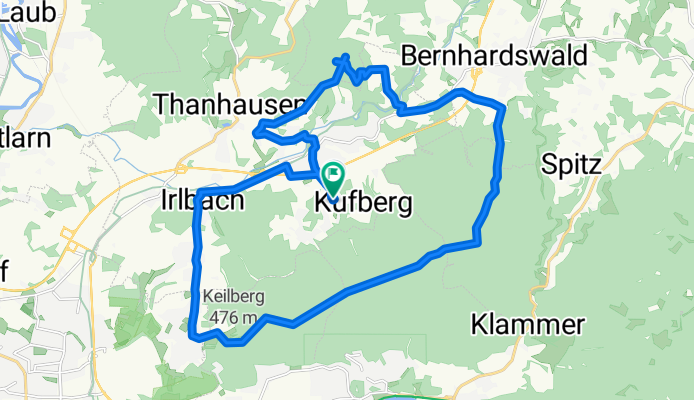
 5 Rund um Probstberg
- Distance
- 35.2 km
- Ascent
- 613 m
- Descent
- 612 m
- Location
- Wenzenbach, Bavaria, Germany
 MTB Tour 27.02.2010
- Distance
- 26.8 km
- Ascent
- 381 m
- Descent
- 375 m
- Location
- Wenzenbach, Bavaria, Germany
 Kapellenweg
- Distance
- 31.9 km
- Ascent
- 332 m
- Descent
- 332 m
- Location
- Wenzenbach, Bavaria, Germany
 WENZENBACH - TOUR
- Distance
- 39.6 km
- Ascent
- 323 m
- Descent
- 324 m
- Location
- Wenzenbach, Bavaria, Germany
 Wenzenbach Kapellenweg nach Kapellenweg 20, Wenzenbach
- Distance
- 22.2 km
- Ascent
- 198 m
- Descent
- 210 m
- Location
- Wenzenbach, Bavaria, Germany
 Hi u. Zruck
- Distance
- 20.9 km
- Ascent
- 380 m
- Descent
- 383 m
- Location
- Wenzenbach, Bavaria, Germany
 Wenzenbach - Winzerer Höhen - Jurasteig
- Distance
- 79 km
- Ascent
- 551 m
- Descent
- 550 m
- Location
- Wenzenbach, Bavaria, Germany
 kurze-tour-trail-Spielplatz-Regenstauf.gpx
- Distance
- 20.5 km
- Ascent
- 235 m
- Descent
- 226 m
- Location
- Wenzenbach, Bavaria, Germany
Open it in the app