Schaich- und Aichtalrunde
A cycling route starting in Weil im Schönbuch, Baden-Wurttemberg, Germany.
Overview
About this route
- -:--
- Duration
- 28.1 km
- Distance
- 319 m
- Ascent
- 408 m
- Descent
- ---
- Avg. speed
- 482 m
- Max. altitude
Route quality
Waytypes & surfaces along the route
Waytypes
Track
18.5 km
(66 %)
Quiet road
4.2 km
(15 %)
Surfaces
Paved
12.9 km
(46 %)
Unpaved
14.6 km
(52 %)
Asphalt
12.4 km
(44 %)
Gravel
7 km
(25 %)
Route highlights
Points of interest along the route
Point of interest after 4.8 km
Dettenhausen, Wasserspielplatz
Point of interest after 19.8 km
Bewegungsspielplatz
Point of interest after 28.1 km
Weil im Schönbuch, Marktplatz
Continue with Bikemap
Use, edit, or download this cycling route
You would like to ride Schaich- und Aichtalrunde or customize it for your own trip? Here is what you can do with this Bikemap route:
Free features
- Save this route as favorite or in collections
- Copy & plan your own version of this route
- Sync your route with Garmin or Wahoo
Premium features
Free trial for 3 days, or one-time payment. More about Bikemap Premium.
- Navigate this route on iOS & Android
- Export a GPX / KML file of this route
- Create your custom printout (try it for free)
- Download this route for offline navigation
Discover more Premium features.
Get Bikemap PremiumFrom our community
Other popular routes starting in Weil im Schönbuch
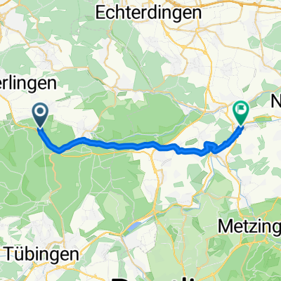
- Bebenhausen - Burkhardtsmühle
- Distance
- 47.7 km
- Ascent
- 431 m
- Descent
- 431 m
- Location
- Weil im Schönbuch, Baden-Wurttemberg, Germany
- Weil - Plochingen
- Distance
- 50.6 km
- Ascent
- 314 m
- Descent
- 530 m
- Location
- Weil im Schönbuch, Baden-Wurttemberg, Germany
- Weil - Fernsehturm Waldenbuch - Weil
- Distance
- 18.9 km
- Ascent
- 105 m
- Descent
- 104 m
- Location
- Weil im Schönbuch, Baden-Wurttemberg, Germany
- Von Weil im Schönbuch bis Herrenberg
- Distance
- 12.7 km
- Ascent
- 238 m
- Descent
- 310 m
- Location
- Weil im Schönbuch, Baden-Wurttemberg, Germany
- Schaich- und Aichtalrunde
- Distance
- 28.1 km
- Ascent
- 319 m
- Descent
- 408 m
- Location
- Weil im Schönbuch, Baden-Wurttemberg, Germany
- Naturpark Schönbuch Herrenberg-Tübingen
- Distance
- 65.2 km
- Ascent
- 642 m
- Descent
- 639 m
- Location
- Weil im Schönbuch, Baden-Wurttemberg, Germany
- Naturpark Schönbuch Herrenberg-Tübingen
- Distance
- 65.2 km
- Ascent
- 631 m
- Descent
- 621 m
- Location
- Weil im Schönbuch, Baden-Wurttemberg, Germany
- Schaichtal-Runde
- Distance
- 30.2 km
- Ascent
- 244 m
- Descent
- 244 m
- Location
- Weil im Schönbuch, Baden-Wurttemberg, Germany
Open it in the app