Šator planina
- 203 km
- 4,014 m
- 4,015 m
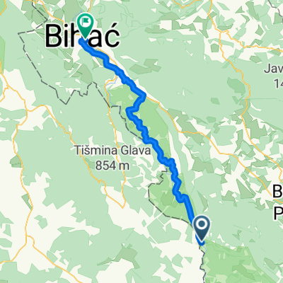
- Orašac, Federation of Bosnia and Herzegovina, Bosnia and Herzegovina
Trieste - Sarajevo 2017
A cycling route starting in Orašac, Federation of Bosnia and Herzegovina, Bosnia and Herzegovina.
Overview
created this 8 years ago
Part of

8 stages
Route quality
Quiet road
16.5 km
(12 %)
Access road
2.7 km
(2 %)
Paved
115.5 km
(84 %)
Asphalt
115.5 km
(84 %)
Undefined
22 km
(16 %)
Continue with Bikemap
You would like to ride TS - SA 005 : MARTIN BROD - LIVNO or customize it for your own trip? Here is what you can do with this Bikemap route:
Free trial for 3 days, or one-time payment. More about Bikemap Premium.
Discover more Premium features.
Get Bikemap PremiumFrom our community
Open it in the app