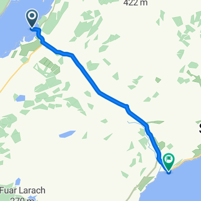
LEJOG 2010 - Stage Nine
A cycling route starting in Tarbert, Scotland, United Kingdom.
Overview
About this route
Lochranza, Arran - Glencoe
- -:--
- Duration
- 160.7 km
- Distance
- 1,474 m
- Ascent
- 1,286 m
- Descent
- ---
- Avg. speed
- 315 m
- Avg. speed
Route quality
Waytypes & surfaces along the route
Waytypes
Busy road
74.9 km
(47 %)
Cycleway
60.7 km
(38 %)
Surfaces
Paved
78.4 km
(49 %)
Unpaved
7.2 km
(4 %)
Asphalt
78.1 km
(49 %)
Ground
5 km
(3 %)
Continue with Bikemap
Use, edit, or download this cycling route
You would like to ride LEJOG 2010 - Stage Nine or customize it for your own trip? Here is what you can do with this Bikemap route:
Free features
- Save this route as favorite or in collections
- Copy & plan your own version of this route
- Sync your route with Garmin or Wahoo
Premium features
Free trial for 3 days, or one-time payment. More about Bikemap Premium.
- Navigate this route on iOS & Android
- Export a GPX / KML file of this route
- Create your custom printout (try it for free)
- Download this route for offline navigation
Discover more Premium features.
Get Bikemap PremiumFrom our community
Other popular routes starting in Tarbert
- Kennacraig Ferry Terminal - Claonaig Ferry Slipway
- Distance
- 9.5 km
- Ascent
- 140 m
- Descent
- 137 m
- Location
- Tarbert, Scotland, United Kingdom
- LEJOG 2010 - Stage Nine
- Distance
- 160.7 km
- Ascent
- 1,474 m
- Descent
- 1,286 m
- Location
- Tarbert, Scotland, United Kingdom
- ESC 116b: Claonaig - Campbeltown
- Distance
- 45.3 km
- Ascent
- 562 m
- Descent
- 565 m
- Location
- Tarbert, Scotland, United Kingdom
- West Tarbert to Taynuilt
- Distance
- 81.5 km
- Ascent
- 569 m
- Descent
- 538 m
- Location
- Tarbert, Scotland, United Kingdom
- Caledonia Way Day 2
- Distance
- 54.7 km
- Ascent
- 513 m
- Descent
- 514 m
- Location
- Tarbert, Scotland, United Kingdom
- ESC 106: Tarbert-Runde
- Distance
- 64.7 km
- Ascent
- 560 m
- Descent
- 561 m
- Location
- Tarbert, Scotland, United Kingdom
- LEJOG Day 11 - Lochranza to Oban (via Lochranza - Claonaig ferry)
- Distance
- 97 km
- Ascent
- 740 m
- Descent
- 736 m
- Location
- Tarbert, Scotland, United Kingdom
- Kintyre - Day 2 (Fi's Mountain remix)
- Distance
- 77.2 km
- Ascent
- 851 m
- Descent
- 827 m
- Location
- Tarbert, Scotland, United Kingdom
Open it in the app