
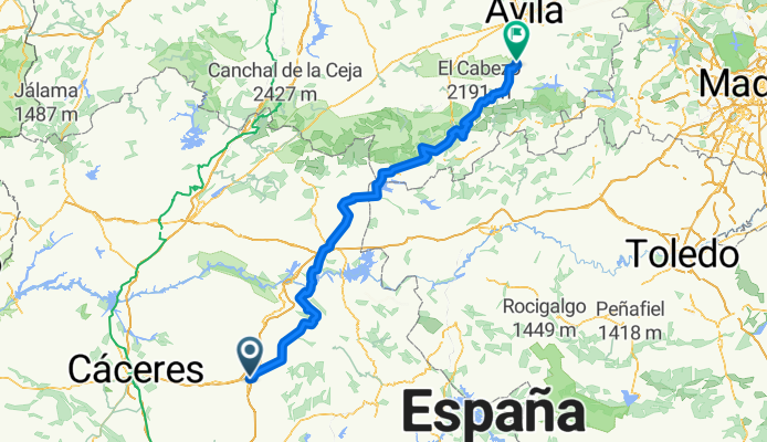
Trujilo, ESP - Alto de la Paramera, ESP
A cycling route starting in Trujillo, Extremadura, Spain.
Overview
About this route
Collado de Serranillos - 1
Alto de la Paramera - 1
- -:--
- Duration
- 226.6 km
- Distance
- 2,654 m
- Ascent
- 1,680 m
- Descent
- ---
- Avg. speed
- ---
- Max. altitude
Route quality
Waytypes & surfaces along the route
Waytypes
Road
99.7 km
(44 %)
Track
22.7 km
(10 %)
Surfaces
Paved
124.6 km
(55 %)
Unpaved
4.5 km
(2 %)
Asphalt
108.8 km
(48 %)
Paved (undefined)
15.9 km
(7 %)
Continue with Bikemap
Use, edit, or download this cycling route
You would like to ride Trujilo, ESP - Alto de la Paramera, ESP or customize it for your own trip? Here is what you can do with this Bikemap route:
Free features
- Save this route as favorite or in collections
- Copy & plan your own version of this route
- Split it into stages to create a multi-day tour
- Sync your route with Garmin or Wahoo
Premium features
Free trial for 3 days, or one-time payment. More about Bikemap Premium.
- Navigate this route on iOS & Android
- Export a GPX / KML file of this route
- Create your custom printout (try it for free)
- Download this route for offline navigation
Discover more Premium features.
Get Bikemap PremiumFrom our community
Other popular routes starting in Trujillo
 la bola de montanchez
- Distance
- 76.4 km
- Ascent
- 805 m
- Descent
- 808 m
- Location
- Trujillo, Extremadura, Spain
 TRUJILLO-HERGUIJUELA-CONQUISTA-GARCIAZ-MADROÑERA-TRUJILLO
- Distance
- 73.5 km
- Ascent
- 693 m
- Descent
- 690 m
- Location
- Trujillo, Extremadura, Spain
 TRUJILLO-HERGUIJUELA-IBAHERNANDO-LA CUMBRE -N V
- Distance
- 68.7 km
- Ascent
- 510 m
- Descent
- 510 m
- Location
- Trujillo, Extremadura, Spain
 Route to Belvís de Monroy
- Distance
- 78.9 km
- Ascent
- 1,486 m
- Descent
- 1,729 m
- Location
- Trujillo, Extremadura, Spain
 Deleitosa
- Distance
- 32.4 km
- Ascent
- 354 m
- Descent
- 324 m
- Location
- Trujillo, Extremadura, Spain
 Trujillo - Guadalupe 80km
- Distance
- 79.7 km
- Ascent
- 1,197 m
- Descent
- 1,212 m
- Location
- Trujillo, Extremadura, Spain
 Trujilo, ESP - Alto de la Paramera, ESP
- Distance
- 226.6 km
- Ascent
- 2,654 m
- Descent
- 1,680 m
- Location
- Trujillo, Extremadura, Spain
 TRUJILLO-PLASENZUELA-RUANES-ROBLEDILLO-STA. CRUZ-TRUJILLO
- Distance
- 80.5 km
- Ascent
- 522 m
- Descent
- 522 m
- Location
- Trujillo, Extremadura, Spain
Open it in the app