Von Betzingen nach Iznang 08/25
- 124.7 km
- 1,756 m
- 1,744 m
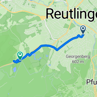
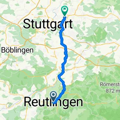
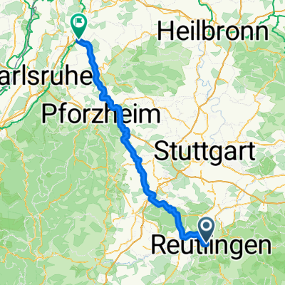
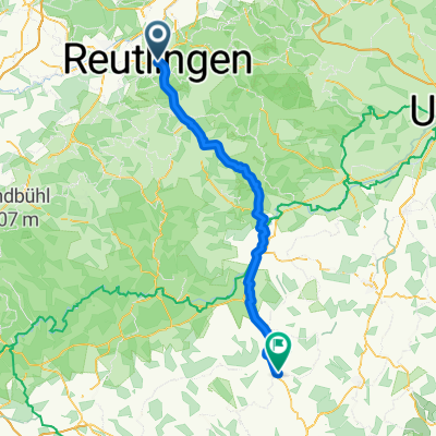
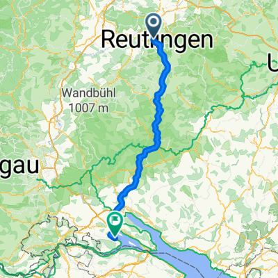
- Reutlingen, Baden-Wurttemberg, Germany
A cycling route starting in Reutlingen, Baden-Wurttemberg, Germany.
Overview
Nach einrollen auf leicht welliger Strecke hinter Bad Urach anspruchsvolle Steigung mit ca 15 %. Von Holzelfingen nach Lichtenstein Abfahrt, anschließend Anstieg auf Zeitfahrmesstrecke zur Nebelhöhle. Hinter Genkingen am Rossberg vorbei steile Abfahrt nach Gönningen und über Pfullingen zurück. Die Strecke kann je nach Lust und Wetter unterwegs abgekürzt werden.
created this 15 years ago
Route quality
Road
21.1 km
(32 %)
Quiet road
19.2 km
(29 %)
Paved
60.1 km
(91 %)
Unpaved
4 km
(6 %)
Asphalt
58.8 km
(89 %)
Gravel
3.3 km
(5 %)
Continue with Bikemap
You would like to ride Reutlingen - Metzingen - Bad Urach - St.Johann - Lichtenstein - Genkingen - Pfullingen - Reutlingen or customize it for your own trip? Here is what you can do with this Bikemap route:
Free trial for 3 days, or one-time payment. More about Bikemap Premium.
Discover more Premium features.
Get Bikemap PremiumFrom our community
Open it in the app