

Kurze Ostetour
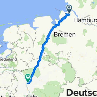
A cycling route starting in Cadenberge, Lower Saxony, Germany.
Overview
About this route
The tour leads through the eastern communities of Neuhaus (Oste), Balje with the district of Hörne, and Cadenberge with the two districts of Geversdorf and Balje. It runs along secondary roads or road-adjacent cycling paths. Alternatively, the section from Dingwörden to Cadenberge can also be used on the road-adjacent cycling path along the B73. In Neuhaus, a detour to the Ostesee is recommended. Attention: The Ost barrier is not accessible on Mondays and Fridays!
- -:--
- Duration
- 19.4 km
- Distance
- 9 m
- Ascent
- 9 m
- Descent
- ---
- Avg. speed
- ---
- Max. altitude

Route quality
Waytypes & surfaces along the route
Waytypes
Quiet road
12.2 km
(63 %)
Path
4.9 km
(25 %)
Surfaces
Paved
9.9 km
(51 %)
Unpaved
0.4 km
(2 %)
Asphalt
7.8 km
(40 %)
Paved (undefined)
2.1 km
(11 %)
Route highlights
Points of interest along the route
Point of interest after 0 km
Bistro, Eiscafe, Restaurant, Imbiss
Point of interest after 0.8 km
Cafe´
Point of interest after 5.6 km
Restaurant
Point of interest after 10 km
Ostesperrwerk. Öffnungszeiten beachten: Montags und freitags nicht befahrbar!
Point of interest after 10.3 km
Museum
Point of interest after 10.3 km
Ostesee mit Wasserskianlage und Radlerbistro.
Point of interest after 12.5 km
Historischer Hafen
Point of interest after 12.6 km
Heimatmuseum
Point of interest after 12.9 km
Brauhaus
Point of interest after 13 km
Café, Radverleih
Point of interest after 13.1 km
Fungolf Neuhaus
Point of interest after 13.1 km
Yachthafen und Wohnmobilstellplatz
Point of interest after 13.2 km
Gaststätte
Continue with Bikemap
Use, edit, or download this cycling route
You would like to ride Kurze Ostetour or customize it for your own trip? Here is what you can do with this Bikemap route:
Free features
- Save this route as favorite or in collections
- Copy & plan your own version of this route
- Sync your route with Garmin or Wahoo
Premium features
Free trial for 3 days, or one-time payment. More about Bikemap Premium.
- Navigate this route on iOS & Android
- Export a GPX / KML file of this route
- Create your custom printout (try it for free)
- Download this route for offline navigation
Discover more Premium features.
Get Bikemap PremiumFrom our community
Other popular routes starting in Cadenberge
 Große Runde ab Cadenberge
- Distance
- 99 km
- Ascent
- 39 m
- Descent
- 33 m
- Location
- Cadenberge, Lower Saxony, Germany
 70 km durch den LK Cuxhaven
- Distance
- 70.6 km
- Ascent
- 41 m
- Descent
- 43 m
- Location
- Cadenberge, Lower Saxony, Germany
 Duisburg-Cadenberge
- Distance
- 390.2 km
- Ascent
- 967 m
- Descent
- 937 m
- Location
- Cadenberge, Lower Saxony, Germany
 Fitnesstour von Cadenberge nach Dorum und zurück
- Distance
- 104.2 km
- Ascent
- 50 m
- Descent
- 57 m
- Location
- Cadenberge, Lower Saxony, Germany
 Cuxland-Rundweg R 04 (kurz)
- Distance
- 44.3 km
- Ascent
- 72 m
- Descent
- 74 m
- Location
- Cadenberge, Lower Saxony, Germany
 Otterndorf
- Distance
- 38.2 km
- Ascent
- 40 m
- Descent
- 42 m
- Location
- Cadenberge, Lower Saxony, Germany
 CTF Wingst 2013 54km Aufzeichnung
- Distance
- 54.7 km
- Ascent
- 260 m
- Descent
- 259 m
- Location
- Cadenberge, Lower Saxony, Germany
 Kurze Ostetour
- Distance
- 19.4 km
- Ascent
- 9 m
- Descent
- 9 m
- Location
- Cadenberge, Lower Saxony, Germany
Open it in the app