

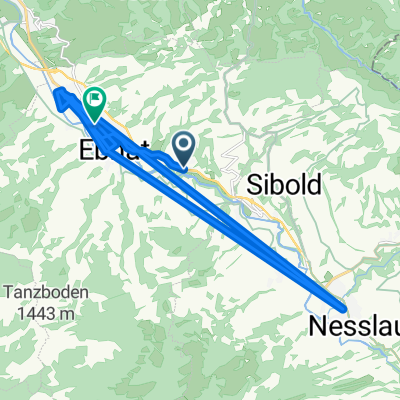
Alpsteinrunde
A cycling route starting in Krummenau, Canton of St. Gallen, Switzerland.
Overview
About this route
- -:--
- Duration
- 89.8 km
- Distance
- 1,393 m
- Ascent
- 1,393 m
- Descent
- ---
- Avg. speed
- ---
- Max. altitude

Route quality
Waytypes & surfaces along the route
Waytypes
Road
19.8 km
(22 %)
Quiet road
5.4 km
(6 %)
Surfaces
Paved
86.2 km
(96 %)
Unpaved
0.9 km
(1 %)
Asphalt
86.2 km
(96 %)
Unpaved (undefined)
0.9 km
(1 %)
Undefined
2.7 km
(3 %)
Continue with Bikemap
Use, edit, or download this cycling route
You would like to ride Alpsteinrunde or customize it for your own trip? Here is what you can do with this Bikemap route:
Free features
- Save this route as favorite or in collections
- Copy & plan your own version of this route
- Split it into stages to create a multi-day tour
- Sync your route with Garmin or Wahoo
Premium features
Free trial for 3 days, or one-time payment. More about Bikemap Premium.
- Navigate this route on iOS & Android
- Export a GPX / KML file of this route
- Create your custom printout (try it for free)
- Download this route for offline navigation
Discover more Premium features.
Get Bikemap PremiumFrom our community
Other popular routes starting in Krummenau
 Horben nach Gillstrasse
- Distance
- 34.6 km
- Ascent
- 547 m
- Descent
- 663 m
- Location
- Krummenau, Canton of St. Gallen, Switzerland
 Stein (Tog.)
- Distance
- 40.5 km
- Ascent
- 1,654 m
- Descent
- 1,654 m
- Location
- Krummenau, Canton of St. Gallen, Switzerland
 Alpsteinrunde
- Distance
- 89.8 km
- Ascent
- 1,393 m
- Descent
- 1,393 m
- Location
- Krummenau, Canton of St. Gallen, Switzerland
 Pod Saentis
- Distance
- 72.5 km
- Ascent
- 1,345 m
- Descent
- 1,338 m
- Location
- Krummenau, Canton of St. Gallen, Switzerland
 speer wanderung
- Distance
- 19.4 km
- Ascent
- 1,411 m
- Descent
- 876 m
- Location
- Krummenau, Canton of St. Gallen, Switzerland
 Obstgarten-Route – Etappe 2: Krummenau – Herisau
- Distance
- 26.3 km
- Ascent
- 829 m
- Descent
- 988 m
- Location
- Krummenau, Canton of St. Gallen, Switzerland
 Hauptstrasse 77, Nesslau nach Unnamed Road, Glarus
- Distance
- 42.8 km
- Ascent
- 1,157 m
- Descent
- 1,100 m
- Location
- Krummenau, Canton of St. Gallen, Switzerland
 Unnamed Road, Stein nach Unnamed Road, Stein
- Distance
- 1.2 km
- Ascent
- 297 m
- Descent
- 237 m
- Location
- Krummenau, Canton of St. Gallen, Switzerland
Open it in the app