

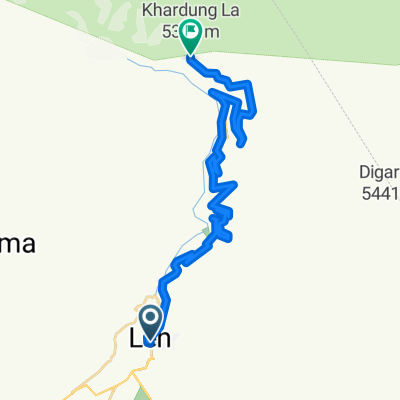
Leh - Srinagar
A cycling route starting in Leh, Jammu and Kashmir, India.
Overview
About this route
1
A moderately difficult route through the heart of Ladakh that offers sublime views of snow covered peaks during the summer, and roads as clear as the weather in the winter. I did this through the first two weeks of October, 2016 and highly recommend it if you are an experienced cyclist.
Road conditions are excellent for the most part, however, be warned, carry spares and be careful when descending Zoji La pass on the way to Sonamarg.
Leh to Srinagar is far easier than Srinagar to Leh.
- -:--
- Duration
- 428.1 km
- Distance
- 2,828 m
- Ascent
- 4,742 m
- Descent
- ---
- Avg. speed
- ---
- Max. altitude
Aalap D
created this 9 years ago
Route photos


Route quality
Waytypes & surfaces along the route
Waytypes
Cycleway
351 km
82 %
Road
25.7 km
6 %
Surfaces
Paved
291.1 km
(68 %)
Asphalt
291.1 km
68 %
Undefined
137 km
32 %
Continue with Bikemap
Use, edit, or download this cycling route
You would like to ride Leh - Srinagar or customize it for your own trip? Here is what you can do with this Bikemap route:
Free features
- Save this route as favorite or in collections
- Copy & plan your own version of this route
- Split it into stages to create a multi-day tour
- Sync your route with Garmin or Wahoo
Premium features
Free trial for 3 days, or one-time payment. More about Bikemap Premium.
- Navigate this route on iOS & Android
- Export a GPX / KML file of this route
- Create your custom printout (try it for free)
- Download this route for offline navigation
Discover more Premium features.
Get Bikemap PremiumFrom our community
Other popular routes starting in Leh


Open it in the app