

Il Carpegna mi basta
A cycling route starting in San Martino dei Mulini, Emilia-Romagna, Italy.
Overview
About this route
Ideal e-MTB tour with double battery. Outbound by Coillinare and return via Fondovalle, all on the Marecchia cycle path (35 km!). A total of 45 km of unpaved cycling!
- -:--
- Duration
- 101.9 km
- Distance
- 1,630 m
- Ascent
- 1,629 m
- Descent
- ---
- Avg. speed
- ---
- Max. altitude

Route quality
Waytypes & surfaces along the route
Waytypes
Cycleway
32.6 km
(32 %)
Quiet road
10.2 km
(10 %)
Surfaces
Paved
45.8 km
(45 %)
Unpaved
37.7 km
(37 %)
Asphalt
39.7 km
(39 %)
Gravel
30.6 km
(30 %)
Continue with Bikemap
Use, edit, or download this cycling route
You would like to ride Il Carpegna mi basta or customize it for your own trip? Here is what you can do with this Bikemap route:
Free features
- Save this route as favorite or in collections
- Copy & plan your own version of this route
- Split it into stages to create a multi-day tour
- Sync your route with Garmin or Wahoo
Premium features
Free trial for 3 days, or one-time payment. More about Bikemap Premium.
- Navigate this route on iOS & Android
- Export a GPX / KML file of this route
- Create your custom printout (try it for free)
- Download this route for offline navigation
Discover more Premium features.
Get Bikemap PremiumFrom our community
Other popular routes starting in San Martino dei Mulini
 coppa della pace
- Distance
- 37.5 km
- Ascent
- 235 m
- Descent
- 235 m
- Location
- San Martino dei Mulini, Emilia-Romagna, Italy
 Il Carpegna mi basta
- Distance
- 101.9 km
- Ascent
- 1,630 m
- Descent
- 1,629 m
- Location
- San Martino dei Mulini, Emilia-Romagna, Italy
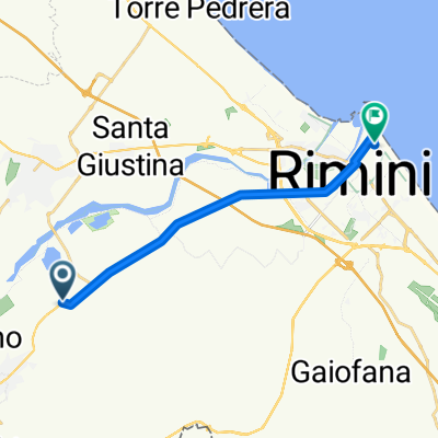 San Martino dei Mulini - Rimini
- Distance
- 12.5 km
- Ascent
- 0 m
- Descent
- 16 m
- Location
- San Martino dei Mulini, Emilia-Romagna, Italy
 S.Ermete-Montalbano-Sogliano-P.Grillo-S.Ermete
- Distance
- 59.1 km
- Ascent
- 1,063 m
- Descent
- 1,024 m
- Location
- San Martino dei Mulini, Emilia-Romagna, Italy
 Mrk1_min
- Distance
- 98.6 km
- Ascent
- 1,322 m
- Descent
- 1,187 m
- Location
- San Martino dei Mulini, Emilia-Romagna, Italy
 Rimini
- Distance
- 184.3 km
- Ascent
- 82 m
- Descent
- 70 m
- Location
- San Martino dei Mulini, Emilia-Romagna, Italy
 Steady ride in Poggio Torriana
- Distance
- 8.3 km
- Ascent
- 59 m
- Descent
- 6 m
- Location
- San Martino dei Mulini, Emilia-Romagna, Italy
 Da Via Trasversale Marecchia 5123, Il Fondo a Via Monte Cieco 20, Rimini
- Distance
- 3.5 km
- Ascent
- 117 m
- Descent
- 30 m
- Location
- San Martino dei Mulini, Emilia-Romagna, Italy
Open it in the app