

Paris - La Rochelle - Ile de Ré
A cycling route starting in Les Ulis, Île-de-France Region, France.
Overview
About this route
Blog http://experiences-velos-couches.blogspot.fr/2016/09/en-velo-de-paris-la-rochelle-ile-de-re.html
Etape 1 Bures-sur-Yvette - Illiers-Combray 110 km camping http://www.camping-chartres.com/index.php/fr/
Etape 2 Illiers-Combray - Vendôme 90 km camping http://www.aucoeurdevendome.com/les-emplacements
Etape 3 Vendôme - Tours 90km camping http://valdeloire.onlycamp.fr/fr/
Etape 4 Tours - Fontevraud 65 km A voir Abbaye camping http://www.camping-candes.fr/
Etape 5 Fontevraud - Parthenay 90 km camping http://www.camping-boisvert.com/
Etape 6 Parthenay - Damvix 80 km camping http://www.camping-des-conches.fr/
Etape 7 Damvix - La Rochelle - ile de Ré 70 km Grand choix de camping sur l'ile, Camping à la Flotte http://www.bel-air-camping.com
- -:--
- Duration
- 602.9 km
- Distance
- 412 m
- Ascent
- 558 m
- Descent
- ---
- Avg. speed
- ---
- Max. altitude

Route quality
Waytypes & surfaces along the route
Waytypes
Quiet road
229.1 km
(38 %)
Road
174.8 km
(29 %)
Surfaces
Paved
241.2 km
(40 %)
Unpaved
42.2 km
(7 %)
Asphalt
229.1 km
(38 %)
Gravel
36.2 km
(6 %)
Continue with Bikemap
Use, edit, or download this cycling route
You would like to ride Paris - La Rochelle - Ile de Ré or customize it for your own trip? Here is what you can do with this Bikemap route:
Free features
- Save this route as favorite or in collections
- Copy & plan your own version of this route
- Split it into stages to create a multi-day tour
- Sync your route with Garmin or Wahoo
Premium features
Free trial for 3 days, or one-time payment. More about Bikemap Premium.
- Navigate this route on iOS & Android
- Export a GPX / KML file of this route
- Create your custom printout (try it for free)
- Download this route for offline navigation
Discover more Premium features.
Get Bikemap PremiumFrom our community
Other popular routes starting in Les Ulis
 Paris - La Rochelle - Ile de Ré
- Distance
- 602.9 km
- Ascent
- 412 m
- Descent
- 558 m
- Location
- Les Ulis, Île-de-France Region, France
 Bures - Douvres - par Breteuil
- Distance
- 269.9 km
- Ascent
- 372 m
- Descent
- 498 m
- Location
- Les Ulis, Île-de-France Region, France
 Дом-Живерни
- Distance
- 85.8 km
- Ascent
- 710 m
- Descent
- 855 m
- Location
- Les Ulis, Île-de-France Region, France
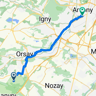 Saint-Jean-de-Beauregard à Avenue Jean Monnet, Antony
- Distance
- 16.9 km
- Ascent
- 124 m
- Descent
- 235 m
- Location
- Les Ulis, Île-de-France Region, France
 30k Paris
- Distance
- 29.6 km
- Ascent
- 249 m
- Descent
- 404 m
- Location
- Les Ulis, Île-de-France Region, France
 Bures-sur-Yvette Orléans
- Distance
- 130.9 km
- Ascent
- 307 m
- Descent
- 360 m
- Location
- Les Ulis, Île-de-France Region, France
 202
202- Distance
- 85.2 km
- Ascent
- 477 m
- Descent
- 477 m
- Location
- Les Ulis, Île-de-France Region, France
 De Chemin de Montjay 29, Bures-sur-Yvette à Rue Carnot 58, Sainte-Geneviève-des-Bois
- Distance
- 16.8 km
- Ascent
- 104 m
- Descent
- 117 m
- Location
- Les Ulis, Île-de-France Region, France
Open it in the app