
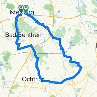
Meine Rentnertour
A cycling route starting in Isterberg, Lower Saxony, Germany.
Overview
About this route
TAHUNA track
- -:--
- Duration
- 50.6 km
- Distance
- 45 m
- Ascent
- 49 m
- Descent
- ---
- Avg. speed
- ---
- Max. altitude
Route quality
Waytypes & surfaces along the route
Waytypes
Cycleway
22 km
(44 %)
Quiet road
15 km
(30 %)
Surfaces
Paved
39.3 km
(78 %)
Unpaved
9 km
(18 %)
Asphalt
22.7 km
(45 %)
Paving stones
14.5 km
(29 %)
Continue with Bikemap
Use, edit, or download this cycling route
You would like to ride Meine Rentnertour or customize it for your own trip? Here is what you can do with this Bikemap route:
Free features
- Save this route as favorite or in collections
- Copy & plan your own version of this route
- Sync your route with Garmin or Wahoo
Premium features
Free trial for 3 days, or one-time payment. More about Bikemap Premium.
- Navigate this route on iOS & Android
- Export a GPX / KML file of this route
- Create your custom printout (try it for free)
- Download this route for offline navigation
Discover more Premium features.
Get Bikemap PremiumFrom our community
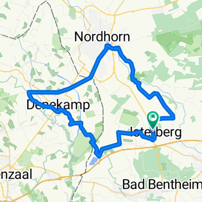
Other popular routes starting in Isterberg
 N&F 2. Engdener Wüste herum
- Distance
- 51.5 km
- Ascent
- 77 m
- Descent
- 80 m
- Location
- Isterberg, Lower Saxony, Germany
 20_2023_Grensoverschrijdende_Theetuinen_Noord
- Distance
- 42.7 km
- Ascent
- 200 m
- Descent
- 199 m
- Location
- Isterberg, Lower Saxony, Germany
 6. Grafschafter Anfietsen: Tour Bad Bentheim & Schüttorf -Wietmarschen
- Distance
- 27.6 km
- Ascent
- 26 m
- Descent
- 35 m
- Location
- Isterberg, Lower Saxony, Germany
 CE_130727
- Distance
- 42.8 km
- Ascent
- 38 m
- Descent
- 40 m
- Location
- Isterberg, Lower Saxony, Germany
 GFT5
GFT5- Distance
- 47.2 km
- Ascent
- 57 m
- Descent
- 56 m
- Location
- Isterberg, Lower Saxony, Germany
 Laudiek 3, Isterberg nach Laudiek 8, Isterberg
- Distance
- 58.9 km
- Ascent
- 645 m
- Descent
- 568 m
- Location
- Isterberg, Lower Saxony, Germany
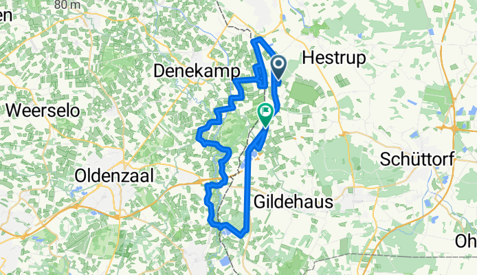
 47,4 km Nordhorn-Denekamp-Hestrup
- Distance
- 47.4 km
- Ascent
- 106 m
- Descent
- 105 m
- Location
- Isterberg, Lower Saxony, Germany
 GFT 4_Hochwasserstrecke
- Distance
- 32.7 km
- Ascent
- 55 m
- Descent
- 53 m
- Location
- Isterberg, Lower Saxony, Germany
Open it in the app