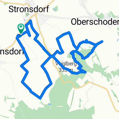
Lauf gleiche Strecke Elite_V8 (12,5km)
- 12.6 km
- 378 m
- 375 m
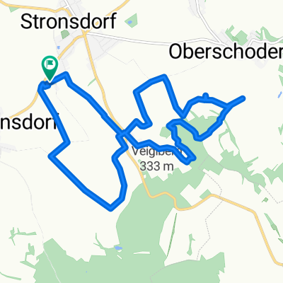
- Stronsdorf, Lower Austria, Austria
A cycling route starting in Stronsdorf, Lower Austria, Austria.
Overview
created this 8 years ago
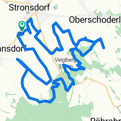
Route quality
Track
15.7 km
(51 %)
Quiet road
4 km
(13 %)
Paved
7.4 km
(24 %)
Unpaved
13.5 km
(44 %)
Gravel
8.3 km
(27 %)
Asphalt
5.9 km
(19 %)
Continue with Bikemap
You would like to ride Buschberg 2 or customize it for your own trip? Here is what you can do with this Bikemap route:
Free trial for 3 days, or one-time payment. More about Bikemap Premium.
Discover more Premium features.
Get Bikemap PremiumFrom our community
Open it in the app