

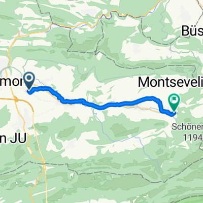
Parque Natural de Thal
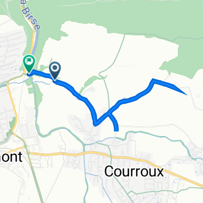
A cycling route starting in Courroux, Canton of Jura, Switzerland.
Overview
About this route
2
You ride from Delémont.
- -:--
- Duration
- 104.3 km
- Distance
- 2,021 m
- Ascent
- 2,022 m
- Descent
- ---
- Avg. speed
- ---
- Max. altitude
Pieatierra
created this 9 years ago
Route quality
Waytypes & surfaces along the route
Waytypes
Road
28.2 km
27 %
Quiet road
11.5 km
11 %
Surfaces
Paved
53.2 km
(51 %)
Unpaved
1 km
(1 %)
Asphalt
53.2 km
51 %
Gravel
1 km
1 %
Undefined
50.1 km
48 %
Continue with Bikemap
Use, edit, or download this cycling route
You would like to ride Parque Natural de Thal or customize it for your own trip? Here is what you can do with this Bikemap route:
Free features
- Save this route as favorite or in collections
- Copy & plan your own version of this route
- Split it into stages to create a multi-day tour
- Sync your route with Garmin or Wahoo
Premium features
Free trial for 3 days, or one-time payment. More about Bikemap Premium.
- Navigate this route on iOS & Android
- Export a GPX / KML file of this route
- Create your custom printout (try it for free)
- Download this route for offline navigation
Discover more Premium features.
Get Bikemap PremiumFrom our community
Other popular routes starting in Courroux
- Chemin de la Charrue, Delémont à Chemin de la Charrue, Delémont0
- 17.1 km
- 90 m
- 92 m
- Courroux, Canton of Jura, Switzerland
- Boucle Haut-Plateau Valée de Delémont et Val terbi1
- 94.6 km
- 1,298 m
- 1,297 m
- Courroux, Canton of Jura, Switzerland
- Rue du Quenêt 3, Courroux à Pont de la Birse, Delémont0
- 4.9 km
- 91 m
- 56 m
- Courroux, Canton of Jura, Switzerland


![[Road] Delémont - Porrentruy](https://media.bikemap.net/routes/1130901/staticmaps/in_c50c1045-aa05-4696-a3ca-4408f539bb5c_400x400_bikemap-2021-3D-static.png)


Open it in the app