

Eastern Hermiston Loop
A cycling route starting in Hermiston, Oregon, United States.
Overview
About this route
Fast and pleasant route.
I was looking for an alterative from going through Standfield and this route is only a few miles less but far more enjoyable.
An added bonus is the little hill climb on Feedville Road
To increase the length (25+ mi) just continue into Stanfield then turn right onto S Edwards.
- -:--
- Duration
- 35 km
- Distance
- 86 m
- Ascent
- 81 m
- Descent
- ---
- Avg. speed
- 219 m
- Max. altitude

Route quality
Waytypes & surfaces along the route
Waytypes
Road
17.7 km
(51 %)
Busy road
9.9 km
(28 %)
Surfaces
Paved
7.1 km
(20 %)
Asphalt
7.1 km
(20 %)
Undefined
27.9 km
(80 %)
Continue with Bikemap
Use, edit, or download this cycling route
You would like to ride Eastern Hermiston Loop or customize it for your own trip? Here is what you can do with this Bikemap route:
Free features
- Save this route as favorite or in collections
- Copy & plan your own version of this route
- Sync your route with Garmin or Wahoo
Premium features
Free trial for 3 days, or one-time payment. More about Bikemap Premium.
- Navigate this route on iOS & Android
- Export a GPX / KML file of this route
- Create your custom printout (try it for free)
- Download this route for offline navigation
Discover more Premium features.
Get Bikemap PremiumFrom our community
Other popular routes starting in Hermiston
 Eastern Hermiston Loop
- Distance
- 35 km
- Ascent
- 86 m
- Descent
- 81 m
- Location
- Hermiston, Oregon, United States
 Hermiston - Port Kelly Out-and-Back
- Distance
- 35.1 km
- Ascent
- 63 m
- Descent
- 85 m
- Location
- Hermiston, Oregon, United States
 Hermiston to Rt-32 Hill and Back
- Distance
- 20.9 km
- Ascent
- 57 m
- Descent
- 29 m
- Location
- Hermiston, Oregon, United States
 South Highway 395 1150, Hermiston to McNary Wildlife Area Trail, Umatilla
- Distance
- 14.2 km
- Ascent
- 49 m
- Descent
- 114 m
- Location
- Hermiston, Oregon, United States
 Hermiston - Umatilla - Irrigon - I84 - Hermiston
- Distance
- 73.2 km
- Ascent
- 178 m
- Descent
- 176 m
- Location
- Hermiston, Oregon, United States
 Touring from Hermiston to Lake Wallowa
- Distance
- 231.7 km
- Ascent
- 2,331 m
- Descent
- 1,119 m
- Location
- Hermiston, Oregon, United States
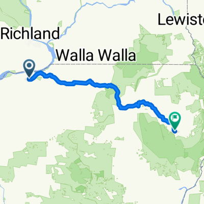
 Hermiston - Walla Walla
- Distance
- 88.5 km
- Ascent
- 330 m
- Descent
- 174 m
- Location
- Hermiston, Oregon, United States
 Hermiston - Umatilla - Hermiston Loop
- Distance
- 42.4 km
- Ascent
- 154 m
- Descent
- 154 m
- Location
- Hermiston, Oregon, United States
Open it in the app