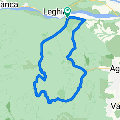
Culte religioase pe drumuri de munte
- 29.5 km
- 898 m
- 899 m
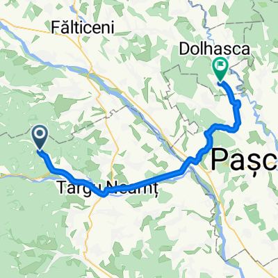
- Nemțișor, Neamț County, Romania
A cycling route starting in Nemțișor, Neamț County, Romania.
Overview
Echipa Cheile Nerei: Zelma Ivan, Petru Severin, Bogdan Ilie, Mihai Octavian Bogdan. Distance: ~176km. Positive elevation gain recorded by eTrex: ~4790m (?). Of which: * 125km of MTB * 37km of trekking in the Ceahlau massif * 14km of paddling with kayak/canoe on Bicaz Lake.
created this 8 years ago
Continue with Bikemap
You would like to ride Cheile Nerei - ProPark 2017 or customize it for your own trip? Here is what you can do with this Bikemap route:
Free trial for 3 days, or one-time payment. More about Bikemap Premium.
Discover more Premium features.
Get Bikemap PremiumFrom our community
Open it in the app