

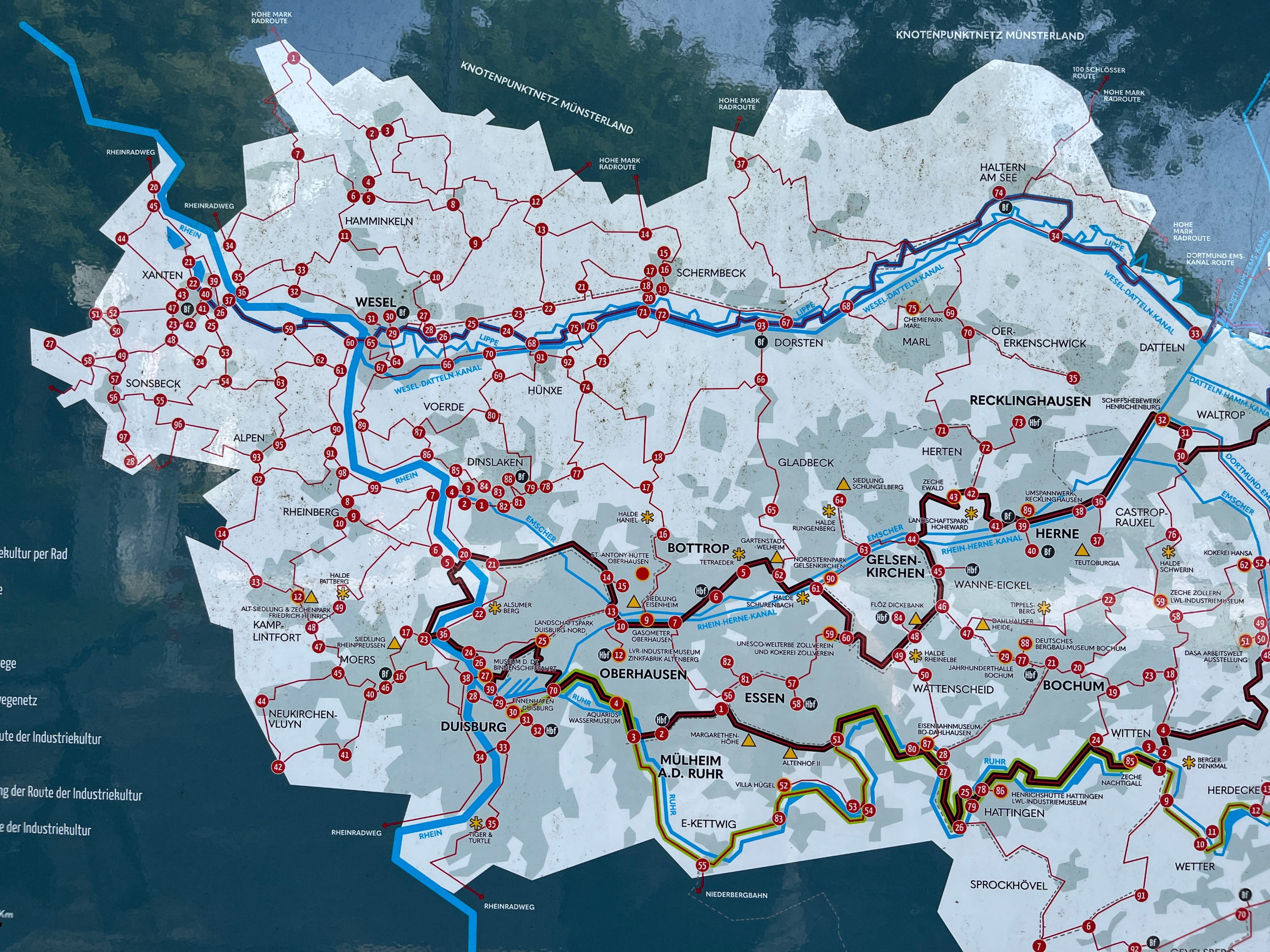
Olga - Grafenmühle - Schermbeck - Weselerwald - Hünxe - Fridrichsfeld - Götterswickerham - Möllen - Pillekamp - Grafschaft - Schmachtendorf - Eisenheim
A cycling route starting in Oberhausen, North Rhine-Westphalia, Germany.
Overview
About this route
Beautiful Sunday ride to the Rhine, the route goes over roads and well-maintained paths. Suitable for all types of bikes.
- -:--
- Duration
- 95.4 km
- Distance
- 184 m
- Ascent
- 186 m
- Descent
- ---
- Avg. speed
- ---
- Max. altitude

Route quality
Waytypes & surfaces along the route
Waytypes
Quiet road
37.2 km
(39 %)
Path
18.1 km
(19 %)
Surfaces
Paved
62 km
(65 %)
Asphalt
61 km
(64 %)
Paved (undefined)
1 km
(1 %)
Undefined
33.4 km
(35 %)
Continue with Bikemap
Use, edit, or download this cycling route
You would like to ride Olga - Grafenmühle - Schermbeck - Weselerwald - Hünxe - Fridrichsfeld - Götterswickerham - Möllen - Pillekamp - Grafschaft - Schmachtendorf - Eisenheim or customize it for your own trip? Here is what you can do with this Bikemap route:
Free features
- Save this route as favorite or in collections
- Copy & plan your own version of this route
- Split it into stages to create a multi-day tour
- Sync your route with Garmin or Wahoo
Premium features
Free trial for 3 days, or one-time payment. More about Bikemap Premium.
- Navigate this route on iOS & Android
- Export a GPX / KML file of this route
- Create your custom printout (try it for free)
- Download this route for offline navigation
Discover more Premium features.
Get Bikemap PremiumFrom our community
Other popular routes starting in Oberhausen
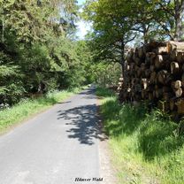 Hünxer Wald 2
- Distance
- 61.2 km
- Ascent
- 397 m
- Descent
- 401 m
- Location
- Oberhausen, North Rhine-Westphalia, Germany
 Mülheimer Str bis Ackerfährbrücke
- Distance
- 15.1 km
- Ascent
- 21 m
- Descent
- 24 m
- Location
- Oberhausen, North Rhine-Westphalia, Germany
 Oberhausen-Essen-Ruhr
- Distance
- 27.2 km
- Ascent
- 221 m
- Descent
- 202 m
- Location
- Oberhausen, North Rhine-Westphalia, Germany
 Tourenatlas Ruhrgebiet Tour 1
- Distance
- 32.6 km
- Ascent
- 131 m
- Descent
- 148 m
- Location
- Oberhausen, North Rhine-Westphalia, Germany
 Olga zur Ruhr und Baldeneysee
- Distance
- 102.4 km
- Ascent
- 123 m
- Descent
- 119 m
- Location
- Oberhausen, North Rhine-Westphalia, Germany
 24 Haldentour vier Halden im Revier
- Distance
- 55.8 km
- Ascent
- 294 m
- Descent
- 294 m
- Location
- Oberhausen, North Rhine-Westphalia, Germany
 OB-MH
OB-MH- Distance
- 11 km
- Ascent
- 31 m
- Descent
- 36 m
- Location
- Oberhausen, North Rhine-Westphalia, Germany
 Schönebeck-Baldeneysee
- Distance
- 47.2 km
- Ascent
- 171 m
- Descent
- 173 m
- Location
- Oberhausen, North Rhine-Westphalia, Germany
Open it in the app