

Steinberg - Granestausee u. z.
A cycling route starting in Goslar, Lower Saxony, Germany.
Overview
About this route
TAHUNA track
- -:--
- Duration
- 5.1 km
- Distance
- 216 m
- Ascent
- 216 m
- Descent
- ---
- Avg. speed
- ---
- Max. altitude
Route quality
Waytypes & surfaces along the route
Waytypes
Track
4.1 km
(81 %)
Access road
0.5 km
(9 %)
Surfaces
Paved
2.3 km
(46 %)
Unpaved
2.8 km
(54 %)
Asphalt
2.3 km
(46 %)
Gravel
1.4 km
(28 %)
Route highlights
Points of interest along the route
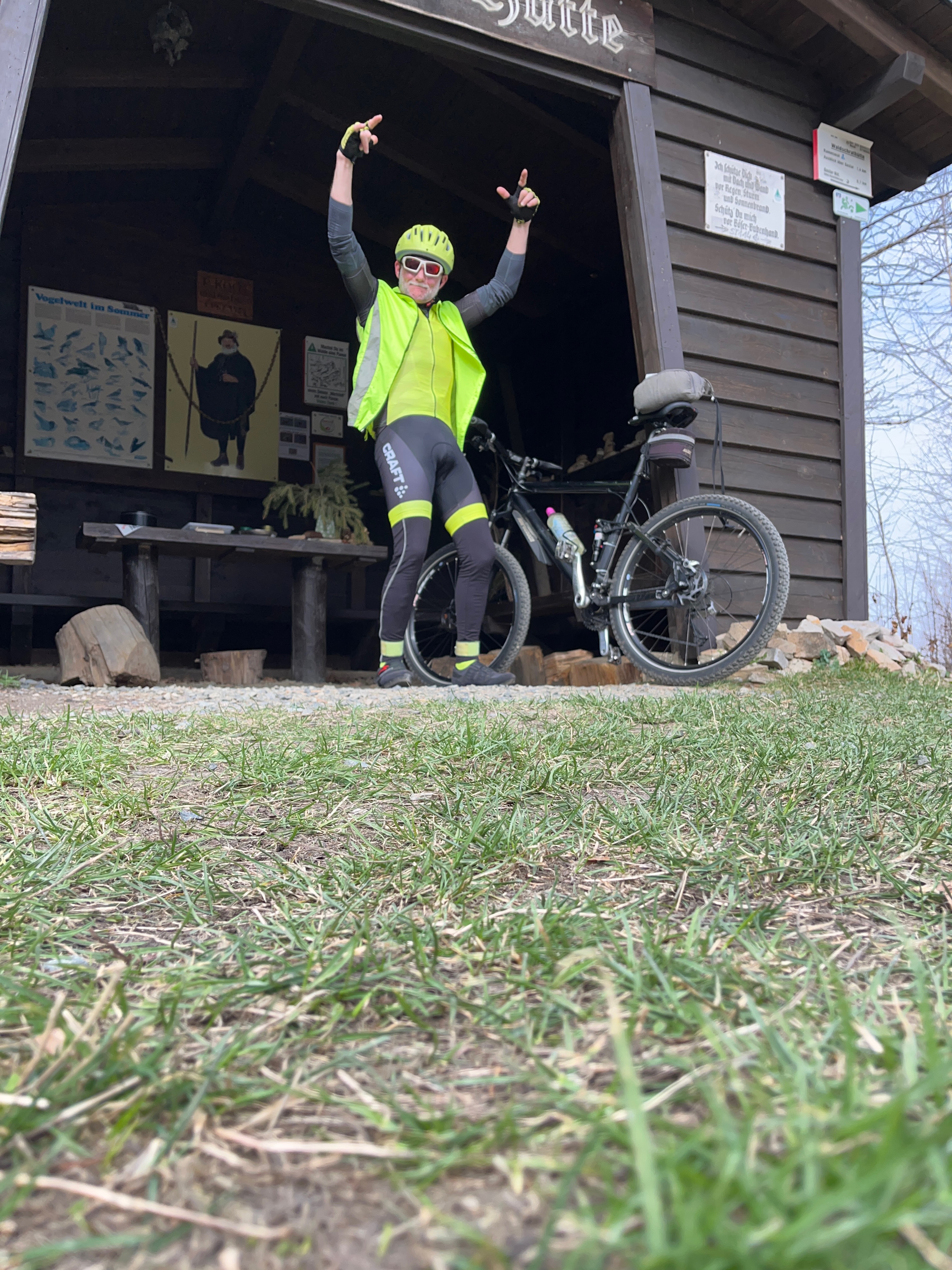
Point of interest after 1.5 km
Stempelstelle 111 / Steinbergturm / Steinbergalm Der südwestlich von Goslar auf dem Steinberg (472 m ü.NN) befindliche Turm, wurde 1888 als Kaiserturm gebaut unter Leitung des Harzklub Zweigvereins Goslar gebaut. Zielstellung der Errichtung des Turms war es den Tourismus zu fördern, was in Anbetrach
Point of interest after 3.6 km
Stempelstelle 110 / Granestausee Die Granetalsperre liegt oberhalb des Langelsheimer Stadtteils Astfeld/Herzog Juliushütte. Die Granetalsperre ist mit Baujahr 1969 die jüngste der Harztalsperren und wurde im Granetal errichtet. Da der Fluss Grane selbst zu wenig Wasser für den 3 km langen See führte
Continue with Bikemap
Use, edit, or download this cycling route
You would like to ride Steinberg - Granestausee u. z. or customize it for your own trip? Here is what you can do with this Bikemap route:
Free features
- Save this route as favorite or in collections
- Copy & plan your own version of this route
- Sync your route with Garmin or Wahoo
Premium features
Free trial for 3 days, or one-time payment. More about Bikemap Premium.
- Navigate this route on iOS & Android
- Export a GPX / KML file of this route
- Create your custom printout (try it for free)
- Download this route for offline navigation
Discover more Premium features.
Get Bikemap PremiumFrom our community
Other popular routes starting in Goslar
 Recovered Route leider hat sich die Tour Aufzeichnung wieder aufgehängt und meine Tour nicht komplett aufgenommen
- Distance
- 6.1 km
- Ascent
- 341 m
- Descent
- 10 m
- Location
- Goslar, Lower Saxony, Germany
 Westharz
- Distance
- 53.4 km
- Ascent
- 924 m
- Descent
- 924 m
- Location
- Goslar, Lower Saxony, Germany
 Trebnitzer Platz 6, Goslar nach Trebnitzer Platz 8, Goslar
- Distance
- 41.7 km
- Ascent
- 334 m
- Descent
- 337 m
- Location
- Goslar, Lower Saxony, Germany
 60-km-ohne-Autos-Tour "Goslar-Clausthal"
- Distance
- 59 km
- Ascent
- 1,161 m
- Descent
- 914 m
- Location
- Goslar, Lower Saxony, Germany
 HFS-Harztour'11, 101 km - 2.050 HM
- Distance
- 99.8 km
- Ascent
- 1,659 m
- Descent
- 1,659 m
- Location
- Goslar, Lower Saxony, Germany
 Trebnitzer Platz 8, Goslar nach Trebnitzer Platz 1, Goslar
- Distance
- 62.3 km
- Ascent
- 490 m
- Descent
- 485 m
- Location
- Goslar, Lower Saxony, Germany
 Kleine Harz Runde 72km
- Distance
- 71 km
- Ascent
- 1,242 m
- Descent
- 1,006 m
- Location
- Goslar, Lower Saxony, Germany
 GS-CLZ-GS
- Distance
- 57.2 km
- Ascent
- 585 m
- Descent
- 587 m
- Location
- Goslar, Lower Saxony, Germany
Open it in the app