Hilpertsau-Kaltenbronn-Hornisgrinde
- 95.1 km
- 1,622 m
- 1,622 m
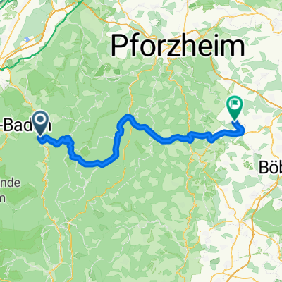
- Weisenbach, Baden-Wurttemberg, Germany
A cycling route starting in Weisenbach, Baden-Wurttemberg, Germany.
Overview
The best thing is to go with 2 cars, we leave one car at the finish, which saves us from having to climb the whole steep ascent.
created this 8 years ago
Route quality
Track
53.8 km
(68 %)
Quiet road
15 km
(19 %)
Paved
45.9 km
(58 %)
Unpaved
30.1 km
(38 %)
Asphalt
45.9 km
(58 %)
Gravel
15.8 km
(20 %)
Continue with Bikemap
You would like to ride kaltenbronn-hilpertsau or customize it for your own trip? Here is what you can do with this Bikemap route:
Free trial for 3 days, or one-time payment. More about Bikemap Premium.
Discover more Premium features.
Get Bikemap PremiumFrom our community
Open it in the app