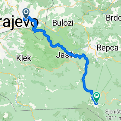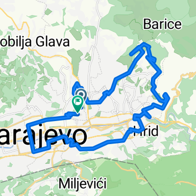

Asphalt_01: Dariva - Vrelo Bosne
- 25 km
- 286 m
- 317 m
- Kobilja Glava, Federation of Bosnia and Herzegovina, Bosnia and Herzegovina
A cycling route starting in Kobilja Glava, Federation of Bosnia and Herzegovina, Bosnia and Herzegovina.
Overview
The more information you write here, the more you help other users with your route.<br /><br />Hilly route to one of Sarajevo mountains
created this 15 years ago
Route quality
Quiet road
11 km
(36 %)
Track
8 km
(26 %)
Paved
20.5 km
(67 %)
Unpaved
8.9 km
(29 %)
Asphalt
20.5 km
(67 %)
Gravel
8 km
(26 %)
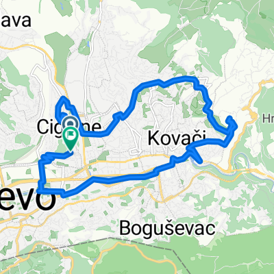
Route highlights
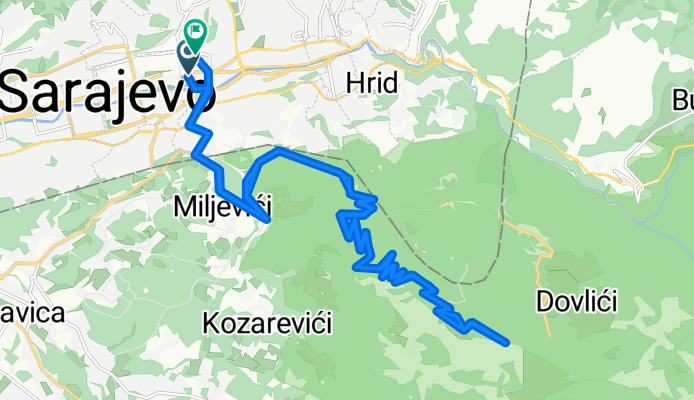
National Museum
Trebevic mountain tip
Turn right from the main road to the mountain top
Continue with Bikemap
You would like to ride Muzej - Vraca - Trebeivc Tip - City or customize it for your own trip? Here is what you can do with this Bikemap route:
Free trial for 3 days, or one-time payment. More about Bikemap Premium.
Discover more Premium features.
Get Bikemap PremiumFrom our community
Open it in the app