
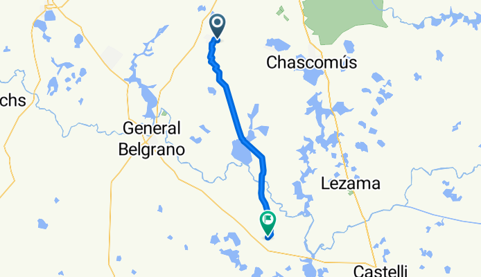
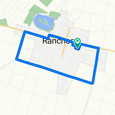
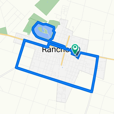
RANCHOS - PILA
A cycling route starting in Ranchos, Buenos Aires, Argentina.
Overview
About this route
RUTA DE TIERRA EN LA PROVINCIA DE BUENOS AIRES.
- -:--
- Duration
- 62.4 km
- Distance
- 26 m
- Ascent
- 31 m
- Descent
- ---
- Avg. speed
- ---
- Max. altitude

Route quality
Waytypes & surfaces along the route
Waytypes
Road
55.7 km
(89 %)
Quiet road
6.6 km
(11 %)
Surfaces
Paved
2.3 km
(4 %)
Unpaved
55.2 km
(88 %)
Unpaved (undefined)
46.4 km
(74 %)
Ground
8.8 km
(14 %)
Continue with Bikemap
Use, edit, or download this cycling route
You would like to ride RANCHOS - PILA or customize it for your own trip? Here is what you can do with this Bikemap route:
Free features
- Save this route as favorite or in collections
- Copy & plan your own version of this route
- Sync your route with Garmin or Wahoo
Premium features
Free trial for 3 days, or one-time payment. More about Bikemap Premium.
- Navigate this route on iOS & Android
- Export a GPX / KML file of this route
- Create your custom printout (try it for free)
- Download this route for offline navigation
Discover more Premium features.
Get Bikemap PremiumFrom our community
Other popular routes starting in Ranchos
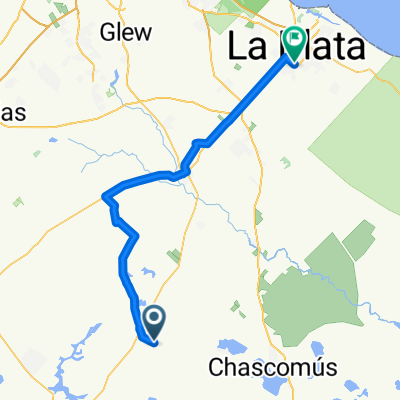 La Plata Ranchos x Loma Verde
- Distance
- 100.6 km
- Ascent
- 53 m
- Descent
- 56 m
- Location
- Ranchos, Buenos Aires, Argentina
 Ranchos - Villanueva
- Distance
- 21.2 km
- Ascent
- 29 m
- Descent
- 7 m
- Location
- Ranchos, Buenos Aires, Argentina
 De Sáenz Peña 2539, Ranchos a Sáenz Peña 2539, Ranchos
- Distance
- 3.9 km
- Ascent
- 29 m
- Descent
- 11 m
- Location
- Ranchos, Buenos Aires, Argentina
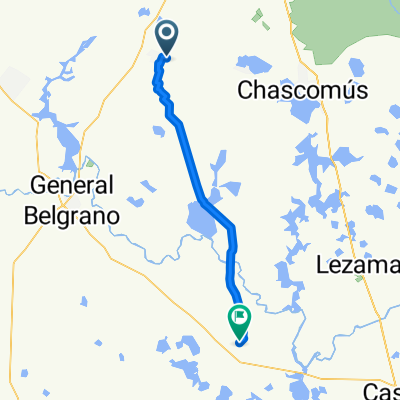
 Leandro N. Alem, Ranchos a Leandro N. Alem, Ranchos
- Distance
- 19.8 km
- Ascent
- 356 m
- Descent
- 357 m
- Location
- Ranchos, Buenos Aires, Argentina
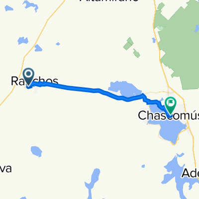 De Calle 44, Ranchos a Chascomús
- Distance
- 33.3 km
- Ascent
- 15 m
- Descent
- 18 m
- Location
- Ranchos, Buenos Aires, Argentina
 RANCHOS - PILA
- Distance
- 62.4 km
- Ascent
- 26 m
- Descent
- 31 m
- Location
- Ranchos, Buenos Aires, Argentina
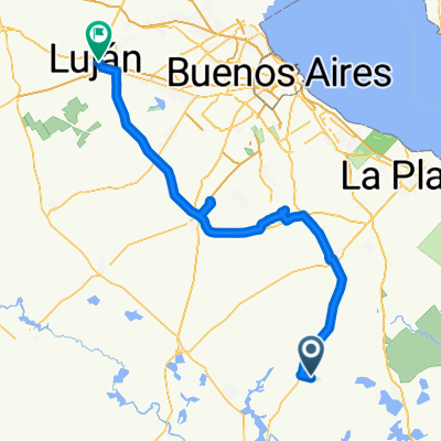 Peregrinación Ciclística a Luján
- Distance
- 193.6 km
- Ascent
- 49 m
- Descent
- 54 m
- Location
- Ranchos, Buenos Aires, Argentina
 Recovered Route
- Distance
- 32.4 km
- Ascent
- 183 m
- Descent
- 179 m
- Location
- Ranchos, Buenos Aires, Argentina
Open it in the app