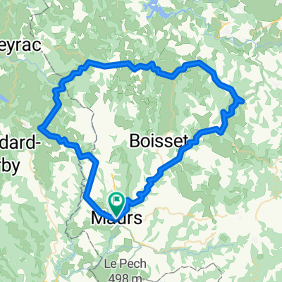
Paris-Nice 2010 - Stage 4 - Maurs-la-Jolie → Mende
A cycling route starting in Maurs, Auvergne-Rhône-Alpes, France.
Overview
About this route
<span style="font-family: Arial, Helvetica, sans-serif; font-size: small;"><span style="font-size: 11px;">For more information: http://www.steephill.tv/paris-nice/</span></span>
- -:--
- Duration
- 176.5 km
- Distance
- 3,765 m
- Ascent
- 3,349 m
- Descent
- ---
- Avg. speed
- 779 m
- Avg. speed
Route quality
Waytypes & surfaces along the route
Waytypes
Busy road
126 km
(71 %)
Road
26.7 km
(15 %)
Surfaces
Paved
123.9 km
(70 %)
Unpaved
0.6 km
(<1 %)
Asphalt
123.8 km
(70 %)
Ground
0.5 km
(<1 %)
Continue with Bikemap
Use, edit, or download this cycling route
You would like to ride Paris-Nice 2010 - Stage 4 - Maurs-la-Jolie → Mende or customize it for your own trip? Here is what you can do with this Bikemap route:
Free features
- Save this route as favorite or in collections
- Copy & plan your own version of this route
- Sync your route with Garmin or Wahoo
Premium features
Free trial for 3 days, or one-time payment. More about Bikemap Premium.
- Navigate this route on iOS & Android
- Export a GPX / KML file of this route
- Create your custom printout (try it for free)
- Download this route for offline navigation
Discover more Premium features.
Get Bikemap PremiumFrom our community
Other popular routes starting in Maurs
- conques
- Distance
- 87.7 km
- Ascent
- 1,355 m
- Descent
- 1,355 m
- Location
- Maurs, Auvergne-Rhône-Alpes, France
- Vallée de la Rance / Marcoles 50 km
- Distance
- 47.3 km
- Ascent
- 692 m
- Descent
- 692 m
- Location
- Maurs, Auvergne-Rhône-Alpes, France
- cele
- Distance
- 47.5 km
- Ascent
- 231 m
- Descent
- 353 m
- Location
- Maurs, Auvergne-Rhône-Alpes, France
- Steady ride in Cajarc
- Distance
- 55.2 km
- Ascent
- 649 m
- Descent
- 784 m
- Location
- Maurs, Auvergne-Rhône-Alpes, France
- Paris-Nice 2010 - Stage 4 - Maurs-la-Jolie → Mende
- Distance
- 176.5 km
- Ascent
- 3,765 m
- Descent
- 3,349 m
- Location
- Maurs, Auvergne-Rhône-Alpes, France
- La Grande Traversée du Volcan à Vélo, étape 2, Maurs / Aurillac
- Distance
- 17.9 km
- Ascent
- 607 m
- Descent
- 825 m
- Location
- Maurs, Auvergne-Rhône-Alpes, France
- Course à Saint Julien de Toursac
- Distance
- 2.8 km
- Ascent
- 89 m
- Descent
- 89 m
- Location
- Maurs, Auvergne-Rhône-Alpes, France
- 199906: Mours - St Jory
- Distance
- 195.4 km
- Ascent
- 2,474 m
- Descent
- 2,650 m
- Location
- Maurs, Auvergne-Rhône-Alpes, France
Open it in the app