

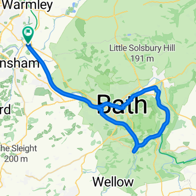
Marsh13
A cycling route starting in Bitton, England, United Kingdom.
Overview
About this route
- -:--
- Duration
- 33.6 km
- Distance
- 556 m
- Ascent
- 400 m
- Descent
- ---
- Avg. speed
- ---
- Max. altitude

Route quality
Waytypes & surfaces along the route
Waytypes
Quiet road
26.2 km
(78 %)
Road
3.4 km
(10 %)
Surfaces
Paved
7.4 km
(22 %)
Asphalt
7.4 km
(22 %)
Undefined
26.2 km
(78 %)
Continue with Bikemap
Use, edit, or download this cycling route
You would like to ride Marsh13 or customize it for your own trip? Here is what you can do with this Bikemap route:
Free features
- Save this route as favorite or in collections
- Copy & plan your own version of this route
- Sync your route with Garmin or Wahoo
Premium features
Free trial for 3 days, or one-time payment. More about Bikemap Premium.
- Navigate this route on iOS & Android
- Export a GPX / KML file of this route
- Create your custom printout (try it for free)
- Download this route for offline navigation
Discover more Premium features.
Get Bikemap PremiumFrom our community
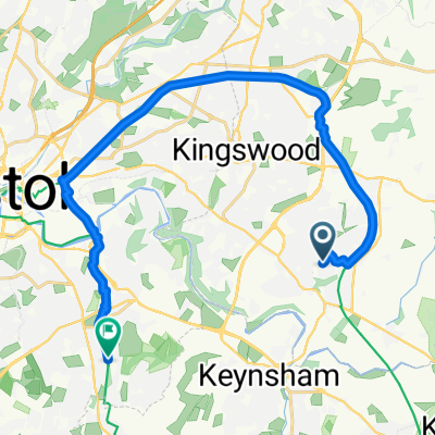
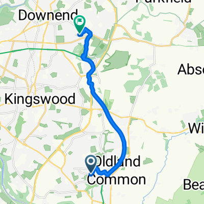
Other popular routes starting in Bitton
 Bitton Bath two tunnels loop
- Distance
- 37.3 km
- Ascent
- 222 m
- Descent
- 224 m
- Location
- Bitton, England, United Kingdom
 Bristol and Bath Railway Path, Bitton, Bristol to 11A Evenlode Way, Bristol
- Distance
- 6.5 km
- Ascent
- 43 m
- Descent
- 49 m
- Location
- Bitton, England, United Kingdom
 Fontana Close to Longreach Grove
- Distance
- 18.5 km
- Ascent
- 110 m
- Descent
- 102 m
- Location
- Bitton, England, United Kingdom
 Bitton to Pensford
- Distance
- 13.9 km
- Ascent
- 169 m
- Descent
- 164 m
- Location
- Bitton, England, United Kingdom
 Thornbury joy ride
- Distance
- 67.8 km
- Ascent
- 361 m
- Descent
- 359 m
- Location
- Bitton, England, United Kingdom
 Fontana Close to Long Road
- Distance
- 8 km
- Ascent
- 57 m
- Descent
- 37 m
- Location
- Bitton, England, United Kingdom
 Just another weekday afternoon ride
- Distance
- 49.3 km
- Ascent
- 346 m
- Descent
- 348 m
- Location
- Bitton, England, United Kingdom
 Marsh34
- Distance
- 50.2 km
- Ascent
- 536 m
- Descent
- 537 m
- Location
- Bitton, England, United Kingdom
Open it in the app