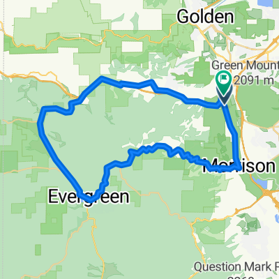
South Table Mesa
A cycling route starting in West Pleasant View, Colorado, United States.
Overview
About this route
- -:--
- Duration
- 11 km
- Distance
- 212 m
- Ascent
- 226 m
- Descent
- ---
- Avg. speed
- ---
- Max. altitude
Route photos
Continue with Bikemap
Use, edit, or download this cycling route
You would like to ride South Table Mesa or customize it for your own trip? Here is what you can do with this Bikemap route:
Free features
- Save this route as favorite or in collections
- Copy & plan your own version of this route
- Sync your route with Garmin or Wahoo
Premium features
Free trial for 3 days, or one-time payment. More about Bikemap Premium.
- Navigate this route on iOS & Android
- Export a GPX / KML file of this route
- Create your custom printout (try it for free)
- Download this route for offline navigation
Discover more Premium features.
Get Bikemap PremiumFrom our community
Other popular routes starting in West Pleasant View
- South Table Mesa
- Distance
- 11 km
- Ascent
- 212 m
- Descent
- 226 m
- Location
- West Pleasant View, Colorado, United States
- 02. Denver - Lincoln - Omaha
- Distance
- 1,046.8 km
- Ascent
- 2,163 m
- Descent
- 3,821 m
- Location
- West Pleasant View, Colorado, United States
- GM Short Ride #1
- Distance
- 12.6 km
- Ascent
- 533 m
- Descent
- 536 m
- Location
- West Pleasant View, Colorado, United States
- Nice loop
- Distance
- 86.2 km
- Ascent
- 1,305 m
- Descent
- 1,304 m
- Location
- West Pleasant View, Colorado, United States
- Golden Short #2
- Distance
- 47.4 km
- Ascent
- 746 m
- Descent
- 748 m
- Location
- West Pleasant View, Colorado, United States
- Bike ride 08/01/2015
- Distance
- 112.5 km
- Ascent
- 1,540 m
- Descent
- 1,540 m
- Location
- West Pleasant View, Colorado, United States
- test climb
- Distance
- 54.1 km
- Ascent
- 893 m
- Descent
- 893 m
- Location
- West Pleasant View, Colorado, United States
- funk dat
- Distance
- 6.2 km
- Ascent
- 249 m
- Descent
- 358 m
- Location
- West Pleasant View, Colorado, United States
Open it in the app