De Rue de l'Eglise 3, Saint-Cierges à Rue de la Gare 8–10, Arnex-sur-Orbe
- 37.8 km
- 401 m
- 614 m
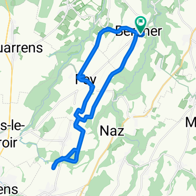
- Rueyres, Canton of Vaud, Switzerland
A cycling route starting in Rueyres, Canton of Vaud, Switzerland.
Overview
created this 8 years ago
Continue with Bikemap
You would like to ride Variante rando blés 1 or customize it for your own trip? Here is what you can do with this Bikemap route:
Free trial for 3 days, or one-time payment. More about Bikemap Premium.
Discover more Premium features.
Get Bikemap PremiumFrom our community
Open it in the app