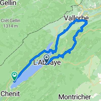
L'Abbaye nach Le Rocheray
- 37 km
- 749 m
- 802 m
- L'Abbaye, Canton of Vaud, Switzerland
A cycling route starting in L'Abbaye, Canton of Vaud, Switzerland.
Overview
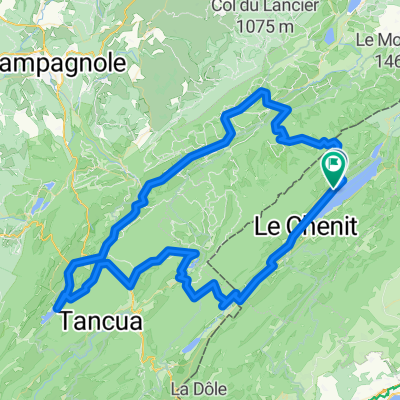
L Abbaye - Lancrans
Hochtäler im Jura
created this 8 years ago
Route quality
Road
11 km
(14 %)
Quiet road
1.6 km
(2 %)
Paved
74.4 km
(95 %)
Asphalt
74.4 km
(95 %)
Undefined
3.9 km
(5 %)
Continue with Bikemap
You would like to ride Leg 1 - Track 4 or customize it for your own trip? Here is what you can do with this Bikemap route:
Free trial for 3 days, or one-time payment. More about Bikemap Premium.
Discover more Premium features.
Get Bikemap PremiumFrom our community
Open it in the app