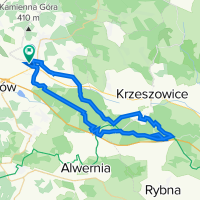
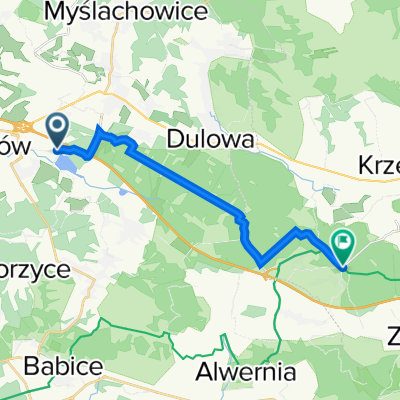
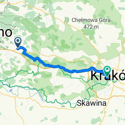
ZIELONA KOĆCIELISKO ETAP V
A cycling route starting in Trzebinia, Lesser Poland Voivodeship, Poland.
Overview
About this route
- -:--
- Duration
- 91.4 km
- Distance
- 413 m
- Ascent
- 339 m
- Descent
- ---
- Avg. speed
- ---
- Max. altitude
Route quality
Waytypes & surfaces along the route
Waytypes
Road
38.4 km
(42 %)
Quiet road
24.7 km
(27 %)
Surfaces
Paved
72.2 km
(79 %)
Unpaved
11.9 km
(13 %)
Asphalt
70.4 km
(77 %)
Loose gravel
4.6 km
(5 %)
Continue with Bikemap
Use, edit, or download this cycling route
You would like to ride ZIELONA KOĆCIELISKO ETAP V or customize it for your own trip? Here is what you can do with this Bikemap route:
Free features
- Save this route as favorite or in collections
- Copy & plan your own version of this route
- Split it into stages to create a multi-day tour
- Sync your route with Garmin or Wahoo
Premium features
Free trial for 3 days, or one-time payment. More about Bikemap Premium.
- Navigate this route on iOS & Android
- Export a GPX / KML file of this route
- Create your custom printout (try it for free)
- Download this route for offline navigation
Discover more Premium features.
Get Bikemap PremiumFrom our community
Other popular routes starting in Trzebinia
- Trzebinia - Alwernia - ParyĆŒ
- Distance
- 56.1 km
- Ascent
- 655 m
- Descent
- 655 m
- Location
- Trzebinia, Lesser Poland Voivodeship, Poland
- Dworcowa 24, Trzebinia do Profesora Stefana Myczkowskiego 1, KrakĂłw
- Distance
- 146.6 km
- Ascent
- 543 m
- Descent
- 624 m
- Location
- Trzebinia, Lesser Poland Voivodeship, Poland
- Puszcza Dulowska KrakĂłw
- Distance
- 44.9 km
- Ascent
- 231 m
- Descent
- 306 m
- Location
- Trzebinia, Lesser Poland Voivodeship, Poland
- Puszcza Dulowska easy
- Distance
- 13.1 km
- Ascent
- 92 m
- Descent
- 94 m
- Location
- Trzebinia, Lesser Poland Voivodeship, Poland
- Trzebinia - dolinki krakowskie
- Distance
- 64.2 km
- Ascent
- 1,041 m
- Descent
- 1,051 m
- Location
- Trzebinia, Lesser Poland Voivodeship, Poland
- trasa 22
- Distance
- 39.1 km
- Ascent
- 303 m
- Descent
- 301 m
- Location
- Trzebinia, Lesser Poland Voivodeship, Poland
- Trzebinia - WygieĆzĂłw - Rudno - Trzebinia
- Distance
- 44 km
- Ascent
- 421 m
- Descent
- 421 m
- Location
- Trzebinia, Lesser Poland Voivodeship, Poland
- Trzebinia - Rudno
- Distance
- 45.7 km
- Ascent
- 436 m
- Descent
- 435 m
- Location
- Trzebinia, Lesser Poland Voivodeship, Poland
Open it in the app