

Quer durch die Vorderpfalz 2020 - RTF des RTC Pfeil Ludwigshafen - 74 km Strecke
A cycling route starting in Fußgönheim, Rhineland-Palatinate, Germany.
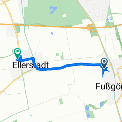
Overview
About this route
Quer durch die Vorderpfalz 2020 - 74 km
RTF des RTC Pfeil Ludwigshafen
Alle weiteren Hinweise zu dieser Strecke -> hier anklicken
- -:--
- Duration
- 75.6 km
- Distance
- 179 m
- Ascent
- 179 m
- Descent
- ---
- Avg. speed
- ---
- Max. altitude

Route quality
Waytypes & surfaces along the route
Waytypes
Busy road
32.5 km
(43 %)
Road
17.7 km
(23 %)
Surfaces
Paved
67.6 km
(89 %)
Unpaved
0.3 km
(<1 %)
Asphalt
61.1 km
(81 %)
Paved (undefined)
3 km
(4 %)
Continue with Bikemap
Use, edit, or download this cycling route
You would like to ride Quer durch die Vorderpfalz 2020 - RTF des RTC Pfeil Ludwigshafen - 74 km Strecke or customize it for your own trip? Here is what you can do with this Bikemap route:
Free features
- Save this route as favorite or in collections
- Copy & plan your own version of this route
- Sync your route with Garmin or Wahoo
Premium features
Free trial for 3 days, or one-time payment. More about Bikemap Premium.
- Navigate this route on iOS & Android
- Export a GPX / KML file of this route
- Create your custom printout (try it for free)
- Download this route for offline navigation
Discover more Premium features.
Get Bikemap PremiumFrom our community
Other popular routes starting in Fußgönheim
 Walldorf - Maxdorf fahrrad Kalker
- Distance
- 46.5 km
- Ascent
- 70 m
- Descent
- 61 m
- Location
- Fußgönheim, Rhineland-Palatinate, Germany
 Mainz - Freiburg Tag 2: Baumi bis Seltz
- Distance
- 97.7 km
- Ascent
- 152 m
- Descent
- 141 m
- Location
- Fußgönheim, Rhineland-Palatinate, Germany
 Iggelheimer Weg 17, Ludwigshafen am Rhein nach Schlossplatz 6, Zweibrücken
- Distance
- 99 km
- Ascent
- 1,216 m
- Descent
- 1,086 m
- Location
- Fußgönheim, Rhineland-Palatinate, Germany
 Pfeil Permanente 2016 - 76 km Perm. des RTC Pfeil Ludwigshafen
- Distance
- 76.4 km
- Ascent
- 271 m
- Descent
- 274 m
- Location
- Fußgönheim, Rhineland-Palatinate, Germany
 Ruchheim -Mannheim Zielstraße10
- Distance
- 16.2 km
- Ascent
- 31 m
- Descent
- 31 m
- Location
- Fußgönheim, Rhineland-Palatinate, Germany
 Raiffeisenstraße 7, Fußgönheim nach Im Flachsgrund 1, Ellerstadt
- Distance
- 3.2 km
- Ascent
- 122 m
- Descent
- 115 m
- Location
- Fußgönheim, Rhineland-Palatinate, Germany
 Iggelheimer Weg 19, Ludwigshafen am Rhein nach Zweibrücken
- Distance
- 98.7 km
- Ascent
- 1,216 m
- Descent
- 1,086 m
- Location
- Fußgönheim, Rhineland-Palatinate, Germany
 Bolander Weg 6, Fußgönheim nach Im Steigert, Böhl-Iggelheim
- Distance
- 13.5 km
- Ascent
- 26 m
- Descent
- 23 m
- Location
- Fußgönheim, Rhineland-Palatinate, Germany
Open it in the app