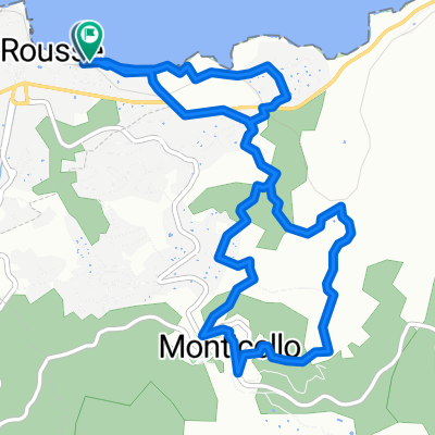
Von 20256, Corbara nach 20256, Corbara
- 34 km
- 663 m
- 665 m
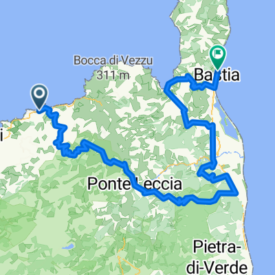
- L'Île-Rousse, Corsica, France
A cycling route starting in L'Île-Rousse, Corsica, France.
Overview
TAHUNA track
created this 8 years ago
Route quality
Road
29.4 km
(51 %)
Quiet road
0.6 km
(1 %)
Paved
26 km
(45 %)
Asphalt
26 km
(45 %)
Undefined
31.7 km
(55 %)
Route highlights
42°35.337' 8°54.325'
Continue with Bikemap
You would like to ride 20170611_094504.gpx or customize it for your own trip? Here is what you can do with this Bikemap route:
Free trial for 3 days, or one-time payment. More about Bikemap Premium.
Discover more Premium features.
Get Bikemap PremiumFrom our community
Open it in the app