

Col de l'oeillon par la Ribaudy
A cycling route starting in Chavanay, Auvergne-Rhône-Alpes, France.
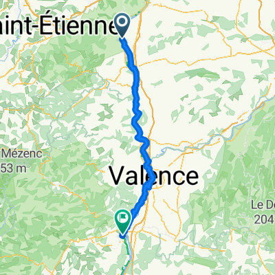
Overview
About this route
- -:--
- Duration
- 45.4 km
- Distance
- 1,072 m
- Ascent
- 1,073 m
- Descent
- ---
- Avg. speed
- ---
- Max. altitude
Route quality
Waytypes & surfaces along the route
Waytypes
Road
12.7 km
(28 %)
Quiet road
6.4 km
(14 %)
Undefined
26.3 km
(58 %)
Surfaces
Paved
23.6 km
(52 %)
Asphalt
23.6 km
(52 %)
Undefined
21.8 km
(48 %)
Continue with Bikemap
Use, edit, or download this cycling route
You would like to ride Col de l'oeillon par la Ribaudy or customize it for your own trip? Here is what you can do with this Bikemap route:
Free features
- Save this route as favorite or in collections
- Copy & plan your own version of this route
- Sync your route with Garmin or Wahoo
Premium features
Free trial for 3 days, or one-time payment. More about Bikemap Premium.
- Navigate this route on iOS & Android
- Export a GPX / KML file of this route
- Create your custom printout (try it for free)
- Download this route for offline navigation
Discover more Premium features.
Get Bikemap PremiumFrom our community
Other popular routes starting in Chavanay
 le brichet
- Distance
- 95.2 km
- Ascent
- 2,432 m
- Descent
- 2,201 m
- Location
- Chavanay, Auvergne-Rhône-Alpes, France
 Chavanay - Le Pouzin
- Distance
- 101 km
- Ascent
- 260 m
- Descent
- 313 m
- Location
- Chavanay, Auvergne-Rhône-Alpes, France
 Annonay
- Distance
- 67.5 km
- Ascent
- 1,756 m
- Descent
- 1,536 m
- Location
- Chavanay, Auvergne-Rhône-Alpes, France
 6 Avenue du Rhône, Chavanay to Avenue du Rhône, Saint-Pierre-de-Bœuf
- Distance
- 5.8 km
- Ascent
- 6 m
- Descent
- 6 m
- Location
- Chavanay, Auvergne-Rhône-Alpes, France
 pilat
pilat- Distance
- 79.8 km
- Ascent
- 1,712 m
- Descent
- 1,716 m
- Location
- Chavanay, Auvergne-Rhône-Alpes, France
 Pic des Trois Dents
- Distance
- 42.8 km
- Ascent
- 1,206 m
- Descent
- 1,209 m
- Location
- Chavanay, Auvergne-Rhône-Alpes, France
 Oeillon/Republique/Charousse
- Distance
- 167.3 km
- Ascent
- 2,861 m
- Descent
- 2,864 m
- Location
- Chavanay, Auvergne-Rhône-Alpes, France
 Via Rhona: 2ème Etappe Chavanay à Tournon
- Distance
- 51.1 km
- Ascent
- 39 m
- Descent
- 77 m
- Location
- Chavanay, Auvergne-Rhône-Alpes, France
Open it in the app