

Droodeseldour 2017 -72KM
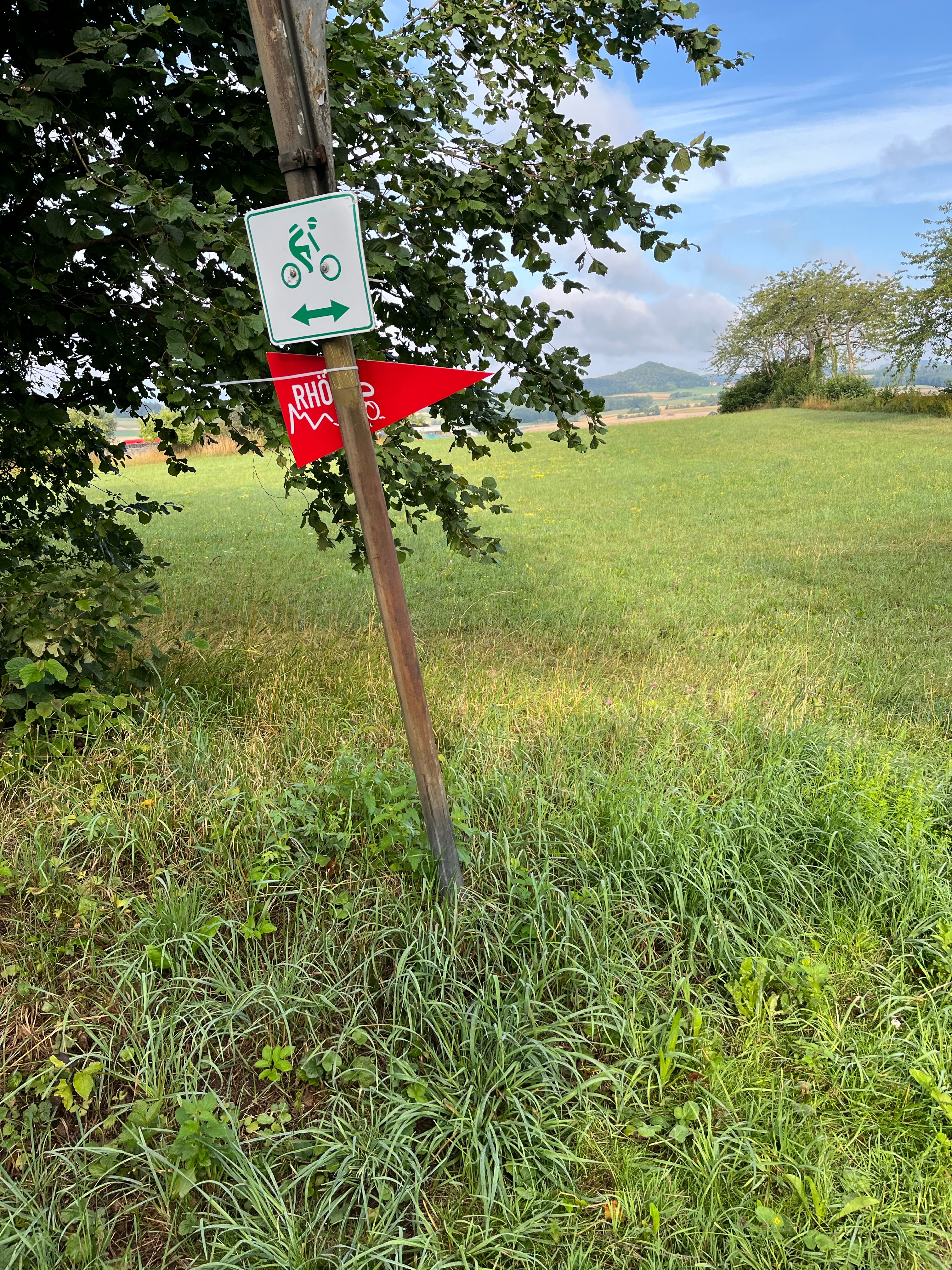
A cycling route starting in Schondra, Bavaria, Germany.
Overview
About this route
At the beginning lots of gravel and at the end lots of gravel. 6 hours of riding.
- -:--
- Duration
- 72.1 km
- Distance
- 1,214 m
- Ascent
- 1,214 m
- Descent
- ---
- Avg. speed
- ---
- Max. altitude
Route quality
Waytypes & surfaces along the route
Waytypes
Track
57.7 km
(80 %)
Quiet road
7.2 km
(10 %)
Surfaces
Paved
17.3 km
(24 %)
Unpaved
41.1 km
(57 %)
Gravel
20.9 km
(29 %)
Asphalt
13.7 km
(19 %)
Continue with Bikemap
Use, edit, or download this cycling route
You would like to ride Droodeseldour 2017 -72KM or customize it for your own trip? Here is what you can do with this Bikemap route:
Free features
- Save this route as favorite or in collections
- Copy & plan your own version of this route
- Sync your route with Garmin or Wahoo
Premium features
Free trial for 3 days, or one-time payment. More about Bikemap Premium.
- Navigate this route on iOS & Android
- Export a GPX / KML file of this route
- Create your custom printout (try it for free)
- Download this route for offline navigation
Discover more Premium features.
Get Bikemap PremiumFrom our community
Other popular routes starting in Schondra
 Oehrberg 14-heiligen 30.3.09
- Distance
- 137.6 km
- Ascent
- 661 m
- Descent
- 759 m
- Location
- Schondra, Bavaria, Germany
 Simmelsberg
- Distance
- 67.2 km
- Ascent
- 1,231 m
- Descent
- 1,241 m
- Location
- Schondra, Bavaria, Germany
 über Hammelburg nach Feuerthal
- Distance
- 47.2 km
- Ascent
- 673 m
- Descent
- 677 m
- Location
- Schondra, Bavaria, Germany
 RHÖN 300 - Strecke 35 km
- Distance
- 31.9 km
- Ascent
- 626 m
- Descent
- 627 m
- Location
- Schondra, Bavaria, Germany
 Gemünderner Hütte über Steinach Sandberg
- Distance
- 65.3 km
- Ascent
- 1,184 m
- Descent
- 1,179 m
- Location
- Schondra, Bavaria, Germany
 Jubiläumstour 2. Probefahrt 7.5.18
- Distance
- 114.8 km
- Ascent
- 1,007 m
- Descent
- 988 m
- Location
- Schondra, Bavaria, Germany
 Oehrberg-Kreuzberg ü. Burkardroth 6.3.09
- Distance
- 65.3 km
- Ascent
- 1,063 m
- Descent
- 1,078 m
- Location
- Schondra, Bavaria, Germany
 Rhön 300 - 100 km 1700 Hm
- Distance
- 100.6 km
- Ascent
- 1,869 m
- Descent
- 1,876 m
- Location
- Schondra, Bavaria, Germany
Open it in the app