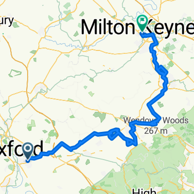
We love Brill
- 45.5 km
- 216 m
- 219 m
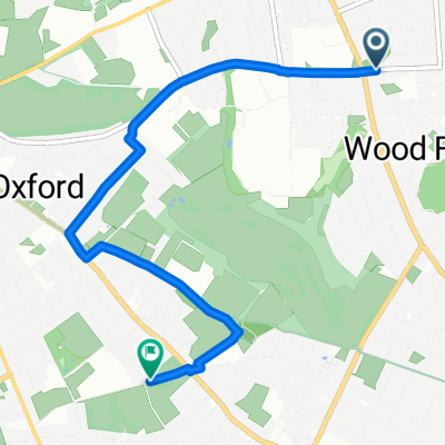
- Cowley, England, United Kingdom
A cycling route starting in Cowley, England, United Kingdom.
Overview
Across Florence Park, Barracks Lane, along to steps up from bypass to lane which leads up to Shotover.
created this 8 years ago
Route quality
Quiet road
3.2 km
(58 %)
Pedestrian area
0.7 km
(13 %)
Paved
4.3 km
(78 %)
Asphalt
4.3 km
(77 %)
Concrete
0.1 km
(1 %)
Undefined
1.2 km
(22 %)
Continue with Bikemap
You would like to ride MeadowLane-Shotover-quiet route or customize it for your own trip? Here is what you can do with this Bikemap route:
Free trial for 3 days, or one-time payment. More about Bikemap Premium.
Discover more Premium features.
Get Bikemap PremiumFrom our community
Open it in the app