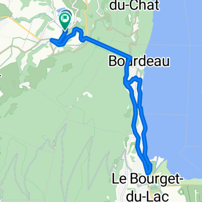
Park pri Seyssel - Brangues
- 32.3 km
- 277 m
- 355 m
- Yenne, Auvergne-Rhône-Alpes, France
A cycling route starting in Yenne, Auvergne-Rhône-Alpes, France.
Overview
Shorten the route in Yenne -> up to 65 km (1850 m elevation gain) Shorten the route just after Losieux -> up to 77 km (2100 m elevation gain)
created this 8 years ago
Route quality
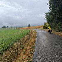
Road
66.4 km
(77 %)
Quiet road
3.4 km
(4 %)
Undefined
16.4 km
(19 %)
Paved
47.4 km
(55 %)
Asphalt
47.4 km
(55 %)
Undefined
38.8 km
(45 %)
Continue with Bikemap
You would like to ride Route Mont du Chat or customize it for your own trip? Here is what you can do with this Bikemap route:
Free trial for 3 days, or one-time payment. More about Bikemap Premium.
Discover more Premium features.
Get Bikemap PremiumFrom our community
Open it in the app