

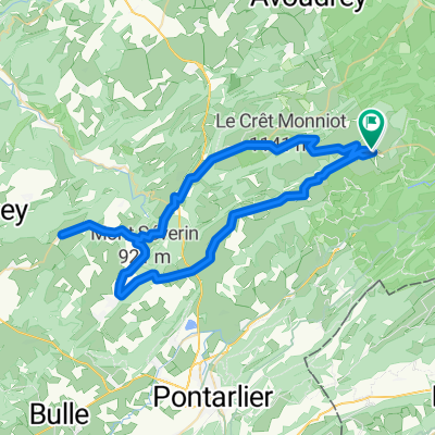
ETAPE 3 deLe Pont - Besançon - Le Doubs - Pontarlier - Le Pont
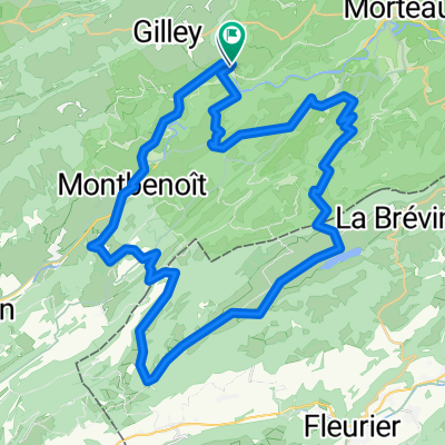
A cycling route starting in Gilley, Bourgogne-Franche-Comté, France.
Overview
About this route
Stage 3/3 of a 320 km journey mainly on secondary roads from Gilley to Pont, along the banks of the Doubs (cycle path) and a section of the Grande Traversée du Jura (cycle path).
- -:--
- Duration
- 71.3 km
- Distance
- 510 m
- Ascent
- 383 m
- Descent
- ---
- Avg. speed
- ---
- Max. altitude
Route quality
Waytypes & surfaces along the route
Waytypes
Road
26.4 km
(37 %)
Path
19.3 km
(27 %)
Surfaces
Paved
57.1 km
(80 %)
Asphalt
57.1 km
(80 %)
Undefined
14.3 km
(20 %)
Continue with Bikemap
Use, edit, or download this cycling route
You would like to ride ETAPE 3 deLe Pont - Besançon - Le Doubs - Pontarlier - Le Pont or customize it for your own trip? Here is what you can do with this Bikemap route:
Free features
- Save this route as favorite or in collections
- Copy & plan your own version of this route
- Sync your route with Garmin or Wahoo
Premium features
Free trial for 3 days, or one-time payment. More about Bikemap Premium.
- Navigate this route on iOS & Android
- Export a GPX / KML file of this route
- Create your custom printout (try it for free)
- Download this route for offline navigation
Discover more Premium features.
Get Bikemap PremiumFrom our community
Other popular routes starting in Gilley
 Route in Les Combes
- Distance
- 30.3 km
- Ascent
- 701 m
- Descent
- 704 m
- Location
- Gilley, Bourgogne-Franche-Comté, France
 Gilley-TdF-Gilley (68 km)
- Distance
- 68.1 km
- Ascent
- 1,601 m
- Descent
- 1,603 m
- Location
- Gilley, Bourgogne-Franche-Comté, France
 Autour de Montbenoit
- Distance
- 46.2 km
- Ascent
- 589 m
- Descent
- 594 m
- Location
- Gilley, Bourgogne-Franche-Comté, France
 TdF - Gilley - Evillers - Gilley (60 km)
- Distance
- 60.2 km
- Ascent
- 967 m
- Descent
- 966 m
- Location
- Gilley, Bourgogne-Franche-Comté, France
 Ville du pont - Villers le Lac/ Evasion
- Distance
- 24.3 km
- Ascent
- 440 m
- Descent
- 436 m
- Location
- Gilley, Bourgogne-Franche-Comté, France
 De Le Haut Bois, Ville-du-Pont à Les Cottards 265, La Brévine
- Distance
- 12.1 km
- Ascent
- 433 m
- Descent
- 308 m
- Location
- Gilley, Bourgogne-Franche-Comté, France
 2XMONTAGNE
- Distance
- 44.1 km
- Ascent
- 765 m
- Descent
- 758 m
- Location
- Gilley, Bourgogne-Franche-Comté, France
 Route in Les Combes
- Distance
- 54.9 km
- Ascent
- 1,311 m
- Descent
- 1,307 m
- Location
- Gilley, Bourgogne-Franche-Comté, France
Open it in the app