

B2B00204 55413>55102 via University & Como Ave
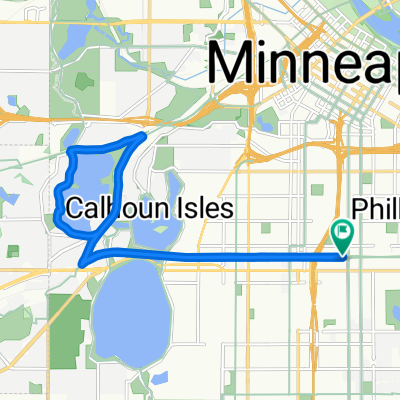
A cycling route starting in Minneapolis, Minnesota, United States.
Overview
About this route
Occasionally there will be a train going on Como Ave (see star on map near Lake Como). If you want to get around it, you can backtrack north and make a left at Como Ave and then turn south on Chatsworth which has a tunnel to get under the tracks.
- -:--
- Duration
- 16.8 km
- Distance
- 83 m
- Ascent
- 103 m
- Descent
- ---
- Avg. speed
- ---
- Max. altitude
Route highlights
Points of interest along the route
Point of interest after 11.8 km
Occasionally there will be a train going through here. If you want to get around it, you can backtrack north and make a left at Como Ave and then turn south on Chatsworth which has a tunnel to get under the tracks.
Continue with Bikemap
Use, edit, or download this cycling route
You would like to ride B2B00204 55413>55102 via University & Como Ave or customize it for your own trip? Here is what you can do with this Bikemap route:
Free features
- Save this route as favorite or in collections
- Copy & plan your own version of this route
- Sync your route with Garmin or Wahoo
Premium features
Free trial for 3 days, or one-time payment. More about Bikemap Premium.
- Navigate this route on iOS & Android
- Export a GPX / KML file of this route
- Create your custom printout (try it for free)
- Download this route for offline navigation
Discover more Premium features.
Get Bikemap PremiumFrom our community
Other popular routes starting in Minneapolis
 East/West River Ride
- Distance
- 22.6 km
- Ascent
- 216 m
- Descent
- 217 m
- Location
- Minneapolis, Minnesota, United States
 Three Lakes
- Distance
- 15.9 km
- Ascent
- 55 m
- Descent
- 56 m
- Location
- Minneapolis, Minnesota, United States
 1500–1562 Spruce Pl, Minneapolis to 1512 Spruce Pl, Minneapolis
- Distance
- 28.4 km
- Ascent
- 133 m
- Descent
- 132 m
- Location
- Minneapolis, Minnesota, United States
 TCAC Cedar Lake Loop
- Distance
- 15.9 km
- Ascent
- 55 m
- Descent
- 54 m
- Location
- Minneapolis, Minnesota, United States
 B2B00941 55405>55410 via Cedar Lake Trl, Lakes
- Distance
- 11.2 km
- Ascent
- 77 m
- Descent
- 69 m
- Location
- Minneapolis, Minnesota, United States
 34 Spruce Pl, Minneapolis to Loring Park, Minneapolis
- Distance
- 15.3 km
- Ascent
- 62 m
- Descent
- 64 m
- Location
- Minneapolis, Minnesota, United States
 Out to Minnetonka and back
- Distance
- 52 km
- Ascent
- 265 m
- Descent
- 264 m
- Location
- Minneapolis, Minnesota, United States
 1500–1562 Spruce Pl, Minneapolis to 1512 Spruce Pl, Minneapolis
- Distance
- 25 km
- Ascent
- 106 m
- Descent
- 107 m
- Location
- Minneapolis, Minnesota, United States
Open it in the app