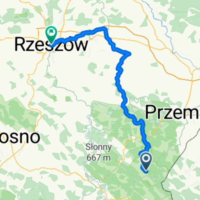
Myczkowce Route 1
A cycling route starting in Olszanica, Subcarpathian Voivodeship, Poland.
Overview
About this route
- -:--
- Duration
- 68.6 km
- Distance
- 583 m
- Ascent
- 583 m
- Descent
- ---
- Avg. speed
- ---
- Max. altitude
Route quality
Waytypes & surfaces along the route
Waytypes
Road
63.1 km
(92 %)
Undefined
5.5 km
(8 %)
Surfaces
Paved
68.6 km
(100 %)
Asphalt
68.6 km
(100 %)
Route highlights
Points of interest along the route
Point of interest after 0 km
Domki Nad Sanem u Jadzi Myczkowce 80, 38-623 Olszanica, Polska
Continue with Bikemap
Use, edit, or download this cycling route
You would like to ride Myczkowce Route 1 or customize it for your own trip? Here is what you can do with this Bikemap route:
Free features
- Save this route as favorite or in collections
- Copy & plan your own version of this route
- Sync your route with Garmin or Wahoo
Premium features
Free trial for 3 days, or one-time payment. More about Bikemap Premium.
- Navigate this route on iOS & Android
- Export a GPX / KML file of this route
- Create your custom printout (try it for free)
- Download this route for offline navigation
Discover more Premium features.
Get Bikemap PremiumFrom our community
Other popular routes starting in Olszanica
- Przez Arłamów i Kwaszeninę
- Distance
- 49.5 km
- Ascent
- 590 m
- Descent
- 593 m
- Location
- Olszanica, Subcarpathian Voivodeship, Poland
- Perły Podk-3
- Distance
- 53.4 km
- Ascent
- 667 m
- Descent
- 744 m
- Location
- Olszanica, Subcarpathian Voivodeship, Poland
- Myczkowce Route 1
- Distance
- 68.6 km
- Ascent
- 583 m
- Descent
- 583 m
- Location
- Olszanica, Subcarpathian Voivodeship, Poland
- Przez rezerwat Chwaniów
- Distance
- 20 km
- Ascent
- 385 m
- Descent
- 387 m
- Location
- Olszanica, Subcarpathian Voivodeship, Poland
- 2013 07 Bieszczady: Orelec - Myczkowce
- Distance
- 13.7 km
- Ascent
- 174 m
- Descent
- 172 m
- Location
- Olszanica, Subcarpathian Voivodeship, Poland
- Klasyk bieszczadzki-Pętla duża
- Distance
- 143.1 km
- Ascent
- 1,160 m
- Descent
- 1,161 m
- Location
- Olszanica, Subcarpathian Voivodeship, Poland
- przez RopienkÄ™ do Ustrzyk Dolnych
- Distance
- 69 km
- Ascent
- 745 m
- Descent
- 747 m
- Location
- Olszanica, Subcarpathian Voivodeship, Poland
- Olszanica 185, Olszanica do Olszanica 194, Olszanica
- Distance
- 36 km
- Ascent
- 632 m
- Descent
- 637 m
- Location
- Olszanica, Subcarpathian Voivodeship, Poland
Open it in the app