


Etape 5 : Belesta - Ax-Les-Thermes direct
- 49.6 km
- 1,689 m
- 1,463 m
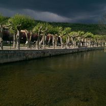
- Bélesta, Occitanie, France
Routes around Le Peyrat
A cycling route starting in Bélesta, Occitanie, France.
Overview
Medium route up to the Col Du Tuquet at 658m and down into Puivert.
created this 8 years ago
Part of
11 stages
Route quality
Road
19 km
43 %
Quiet road
11.1 km
25 %
Paved
0.9 km
(2 %)
Unpaved
0.4 km
(1 %)
Asphalt
0.9 km
2 %
Gravel
0.4 km
1 %
Undefined
43 km
97 %
Continue with Bikemap
You would like to ride 44k Le Peyrat-Chalabre-Col du Tuquet - Puivert or customize it for your own trip? Here is what you can do with this Bikemap route:
Free trial for 3 days, or one-time payment. More about Bikemap Premium.
Discover more Premium features.
Get Bikemap PremiumFrom our community
Open it in the app


