

Hohenhaslacher Runde
A cycling route starting in Freudental, Baden-Württemberg, Germany.
Overview
About this route
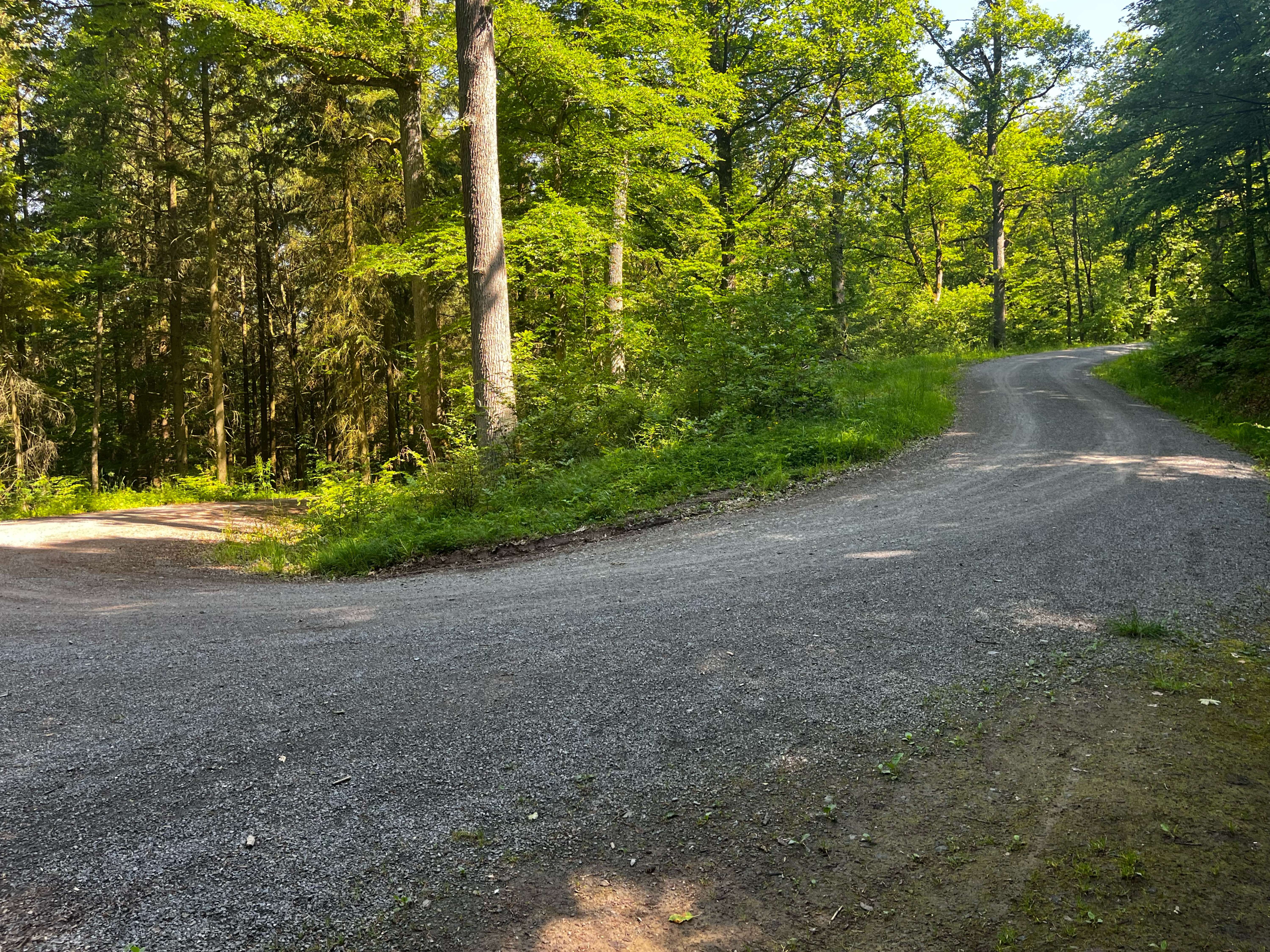
Durch Weinberge, Wald und Wiesen, mit herrlichen Ausblicken in die Umgebung geht es rund um Hohenhaslach. Der Streckenverlauf ist anspruchsvoll durch regelmäßige kleine Steigungen. Der Straßenbelag wechselt zwischen Asphalt und Splitt bzw. Schotter.
- -:--
- Duration
- 29.7 km
- Distance
- 368 m
- Ascent
- 369 m
- Descent
- ---
- Avg. speed
- ---
- Max. altitude

Route quality
Waytypes & surfaces along the route
Waytypes
Track
20.4 km
(69 %)
Quiet road
4.5 km
(15 %)
Surfaces
Paved
15.8 km
(53 %)
Unpaved
11.3 km
(38 %)
Asphalt
13.2 km
(44 %)
Gravel
8.7 km
(29 %)
Continue with Bikemap
Use, edit, or download this cycling route
You would like to ride Hohenhaslacher Runde or customize it for your own trip? Here is what you can do with this Bikemap route:
Free features
- Save this route as favorite or in collections
- Copy & plan your own version of this route
- Sync your route with Garmin or Wahoo
Premium features
Free trial for 3 days, or one-time payment. More about Bikemap Premium.
- Navigate this route on iOS & Android
- Export a GPX / KML file of this route
- Create your custom printout (try it for free)
- Download this route for offline navigation
Discover more Premium features.
Get Bikemap PremiumFrom our community
Other popular routes starting in Freudental
 Ruine Blankenhorn__Trollingerweg 22, Sachsenheim nach Trollingerweg 2, Sachsenheim
- Distance
- 17.7 km
- Ascent
- 458 m
- Descent
- 425 m
- Location
- Freudental, Baden-Württemberg, Germany
 Maulbronn über Sternenfels
- Distance
- 33.2 km
- Ascent
- 278 m
- Descent
- 324 m
- Location
- Freudental, Baden-Württemberg, Germany
 Sonntags-Tour
- Distance
- 8.9 km
- Ascent
- 10 m
- Descent
- 76 m
- Location
- Freudental, Baden-Württemberg, Germany
 60 Plus Radtour Hohenhaslach
- Distance
- 35.7 km
- Ascent
- 387 m
- Descent
- 387 m
- Location
- Freudental, Baden-Württemberg, Germany
 Sonntagstour mit Silvio & Jana
- Distance
- 41.3 km
- Ascent
- 450 m
- Descent
- 452 m
- Location
- Freudental, Baden-Württemberg, Germany
 Baiselsberg Runde
- Distance
- 16.3 km
- Ascent
- 323 m
- Descent
- 323 m
- Location
- Freudental, Baden-Württemberg, Germany
 Mit der Apple Watch am 31. Mai, 11:27 aufgenommen
- Distance
- 20.1 km
- Ascent
- 343 m
- Descent
- 366 m
- Location
- Freudental, Baden-Württemberg, Germany
 Hohenhaslacher Runde
- Distance
- 29.7 km
- Ascent
- 368 m
- Descent
- 369 m
- Location
- Freudental, Baden-Württemberg, Germany
Open it in the app