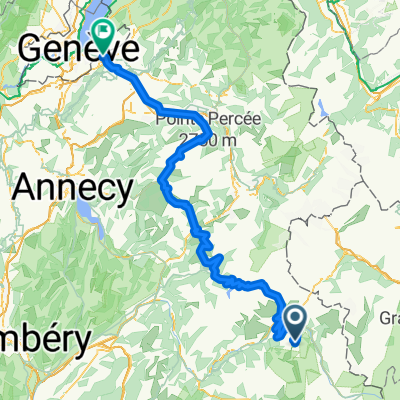
La Trank's
A cycling route starting in S茅ez, Auvergne-Rh么ne-Alpes, France.
Overview
About this route
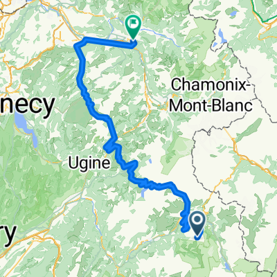
Pleasant and easy trail, dedicated to learning downhill mountain biking. Very fun singletrack with gentle slopes. Passage in front of the lake in the valley of the Arc with a resting area equipped for picnicking. Very nice view of Mont Blanc. Small extra: a 'practice park' available at the start, to practice MTB handling.
- -:--
- Duration
- 4.2 km
- Distance
- 28 m
- Ascent
- 382 m
- Descent
- ---
- Avg. speed
- ---
- Max. altitude
Continue with Bikemap
Use, edit, or download this cycling route
You would like to ride La Trank's or customize it for your own trip? Here is what you can do with this Bikemap route:
Free features
- Save this route as favorite or in collections
- Copy & plan your own version of this route
- Sync your route with Garmin or Wahoo
Premium features
Free trial for 3 days, or one-time payment. More about Bikemap Premium.
- Navigate this route on iOS & Android
- Export a GPX / KML file of this route
- Create your custom printout (try it for free)
- Download this route for offline navigation
Discover more Premium features.
Get Bikemap PremiumFrom our community
Other popular routes starting in S茅ez
 France Transalp Etappe3 France Transalp Etappe3- Distance
- 120.4 km
- Ascent
- 3,645 m
- Descent
- 3,080 m
- Location
- S茅ez, Auvergne-Rh么ne-Alpes, France
 
 Grandes Alpes_Kudrna_Etapa3 Grandes Alpes_Kudrna_Etapa3- Distance
- 104.7 km
- Ascent
- 2,092 m
- Descent
- 1,817 m
- Location
- S茅ez, Auvergne-Rh么ne-Alpes, France
 
 La Trank's La Trank's- Distance
- 4.2 km
- Ascent
- 28 m
- Descent
- 382 m
- Location
- S茅ez, Auvergne-Rh么ne-Alpes, France
 
 Annemasse - Arc 2000 Annemasse - Arc 2000- Distance
- 179.2 km
- Ascent
- 3,155 m
- Descent
- 4,887 m
- Location
- S茅ez, Auvergne-Rh么ne-Alpes, France
 
 Route des Grandes Alpes 2019 - stage 3 Route des Grandes Alpes 2019 - stage 3- Distance
- 76.1 km
- Ascent
- 2,041 m
- Descent
- 1,443 m
- Location
- S茅ez, Auvergne-Rh么ne-Alpes, France
 
 45DN - Montgirod & back streets to La Monal bar 45DN - Montgirod & back streets to La Monal bar- Distance
- 51 km
- Ascent
- 833 m
- Descent
- 1,300 m
- Location
- S茅ez, Auvergne-Rh么ne-Alpes, France
 
 Brian莽on - Arc 2000 Brian莽on - Arc 2000- Distance
- 203 km
- Ascent
- 3,914 m
- Descent
- 4,894 m
- Location
- S茅ez, Auvergne-Rh么ne-Alpes, France
 
 Iseran Iseran- Distance
- 42.6 km
- Ascent
- 2,037 m
- Descent
- 136 m
- Location
- S茅ez, Auvergne-Rh么ne-Alpes, France
 
Open it in the app


