
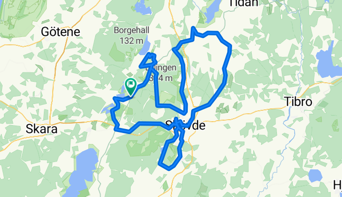
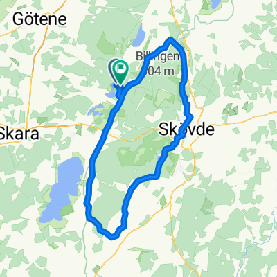
Västgötaturen 2017 - The hills have eyes
A cycling route starting in Axvall, Västra Götaland County, Sweden.
Overview
About this route
- -:--
- Duration
- 115.5 km
- Distance
- 774 m
- Ascent
- 773 m
- Descent
- ---
- Avg. speed
- ---
- Max. altitude

Route quality
Waytypes & surfaces along the route
Waytypes
Road
54.3 km
(47 %)
Quiet road
25.4 km
(22 %)
Surfaces
Paved
91.3 km
(79 %)
Unpaved
3.5 km
(3 %)
Paved (undefined)
46.2 km
(40 %)
Asphalt
45.1 km
(39 %)
Continue with Bikemap
Use, edit, or download this cycling route
You would like to ride Västgötaturen 2017 - The hills have eyes or customize it for your own trip? Here is what you can do with this Bikemap route:
Free features
- Save this route as favorite or in collections
- Copy & plan your own version of this route
- Split it into stages to create a multi-day tour
- Sync your route with Garmin or Wahoo
Premium features
Free trial for 3 days, or one-time payment. More about Bikemap Premium.
- Navigate this route on iOS & Android
- Export a GPX / KML file of this route
- Create your custom printout (try it for free)
- Download this route for offline navigation
Discover more Premium features.
Get Bikemap PremiumFrom our community
Other popular routes starting in Axvall
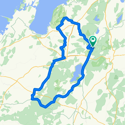
 200km från stugan öst
- Distance
- 193.3 km
- Ascent
- 478 m
- Descent
- 476 m
- Location
- Axvall, Västra Götaland County, Sweden
 Runt billingen 60km
- Distance
- 58.8 km
- Ascent
- 292 m
- Descent
- 292 m
- Location
- Axvall, Västra Götaland County, Sweden
 Stugan 200km
- Distance
- 196.3 km
- Ascent
- 517 m
- Descent
- 565 m
- Location
- Axvall, Västra Götaland County, Sweden
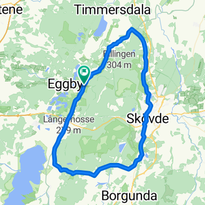
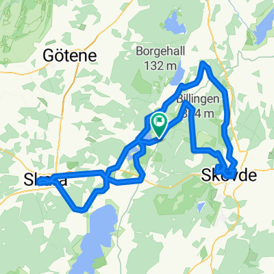
 Runt billingen
- Distance
- 74.7 km
- Ascent
- 350 m
- Descent
- 349 m
- Location
- Axvall, Västra Götaland County, Sweden
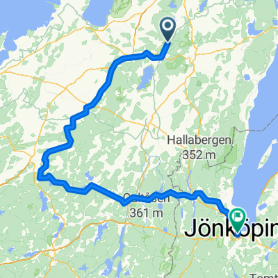
 Västgötaturen 2011
- Distance
- 105.6 km
- Ascent
- 467 m
- Descent
- 467 m
- Location
- Axvall, Västra Götaland County, Sweden
 höst rutt
- Distance
- 24.8 km
- Ascent
- 121 m
- Descent
- 122 m
- Location
- Axvall, Västra Götaland County, Sweden
 140km väst
- Distance
- 143.4 km
- Ascent
- 298 m
- Descent
- 295 m
- Location
- Axvall, Västra Götaland County, Sweden
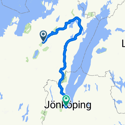
 Skärv Fridhem 1, Axvall to Skärv Munkalyckan 1, Axvall
- Distance
- 14.2 km
- Ascent
- 107 m
- Descent
- 106 m
- Location
- Axvall, Västra Götaland County, Sweden
Open it in the app