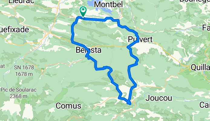


Long bike tour through Le Peyrat
- 60.7 km
- 464 m
- 464 m
- Bélesta, Occitanie, France
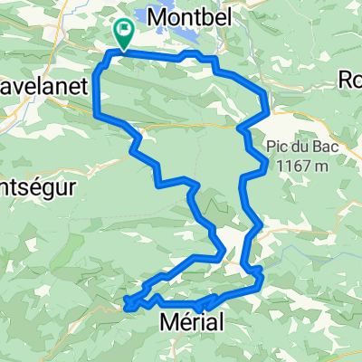
Routes around Le Peyrat
A cycling route starting in Bélesta, Occitanie, France.
Overview
created this 8 years ago
Part of
11 stages


Route quality
Road
23 km
(41 %)
Quiet road
2.2 km
(4 %)
Paved
3.4 km
(6 %)
Unpaved
0.6 km
(1 %)
Asphalt
3.4 km
(6 %)
Ground
0.6 km
(1 %)
Undefined
52.2 km
(93 %)
Continue with Bikemap
You would like to ride Le Peyrat-Espezel-Puivert 50k or customize it for your own trip? Here is what you can do with this Bikemap route:
Free trial for 3 days, or one-time payment. More about Bikemap Premium.
Discover more Premium features.
Get Bikemap PremiumFrom our community
Open it in the app