

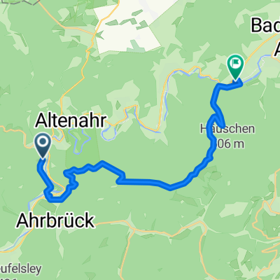
Walporzheimer Straße, Bad Neuenahr-Ahrweiler nach Brückenstraße, Altenahr
- 15.9 km
- 545 m
- 615 m
- Altenahr, Rhineland-Palatinate, Germany
A cycling route starting in Altenahr, Rhineland-Palatinate, Germany.
Overview
Another training session on the road to form
created this 8 years ago
Route quality
Road
13.3 km
(22 %)
Track
13.3 km
(22 %)
Paved
37 km
(61 %)
Unpaved
3.6 km
(6 %)
Asphalt
37 km
(61 %)
Ground
2.4 km
(4 %)
Continue with Bikemap
You would like to ride Nette Runde in die Hocheifel und zurück or customize it for your own trip? Here is what you can do with this Bikemap route:
Free trial for 3 days, or one-time payment. More about Bikemap Premium.
Discover more Premium features.
Get Bikemap PremiumFrom our community
Open it in the app


