Bad Boll - Süßen vs. Nellingen
- 52.1 km
- 529 m
- 588 m
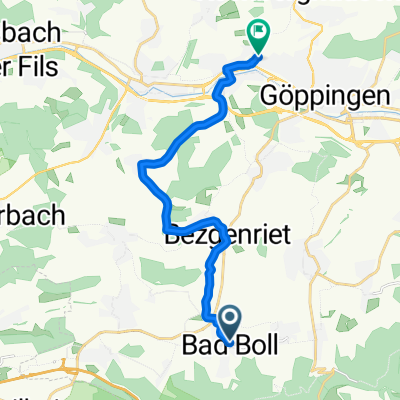
- Boll, Baden-Wurttemberg, Germany
A cycling route starting in Boll, Baden-Wurttemberg, Germany.
Overview
Bad Boll (GP) - Bissingen (ES) - Ochsenwang - Schopfloch - Römerstein (RT) - Westerheim (UL) - Hohenstadt (GP) - Drackenstein - Schonterhöhe - Bad Ditzenbach - Gairenhof - Schlat - Süßen
created this 17 years ago
Route quality
Road
19.7 km
(31 %)
Track
10.8 km
(17 %)
Paved
49.7 km
(78 %)
Unpaved
1.3 km
(2 %)
Asphalt
47.1 km
(74 %)
Paved (undefined)
2.5 km
(4 %)
Continue with Bikemap
You would like to ride 4-Landkreis Heimfahrt or customize it for your own trip? Here is what you can do with this Bikemap route:
Free trial for 3 days, or one-time payment. More about Bikemap Premium.
Discover more Premium features.
Get Bikemap PremiumFrom our community
Open it in the app