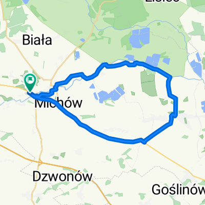
Chojnow_Rokitki_Borowki_Chojnow
A cycling route starting in Chojn贸w, Lower Silesian Voivodeship, Poland.
Overview
About this route
Chojnow_Rokitki_Bor贸wki__Jerzmanowice+Chojn贸w
- -:--
- Duration
- 53 km
- Distance
- 162 m
- Ascent
- 158 m
- Descent
- ---
- Avg. speed
- ---
- Max. altitude
Route quality
Waytypes & surfaces along the route
Waytypes
Road
36.3 km
(68 %)
Quiet road
14.1 km
(27 %)
Surfaces
Paved
32.7 km
(62 %)
Unpaved
3.4 km
(6 %)
Asphalt
27 km
(51 %)
Paved (undefined)
4.9 km
(9 %)
Continue with Bikemap
Use, edit, or download this cycling route
You would like to ride Chojnow_Rokitki_Borowki_Chojnow or customize it for your own trip? Here is what you can do with this Bikemap route:
Free features
- Save this route as favorite or in collections
- Copy & plan your own version of this route
- Sync your route with Garmin or Wahoo
Premium features
Free trial for 3 days, or one-time payment. More about Bikemap Premium.
- Navigate this route on iOS & Android
- Export a GPX / KML file of this route
- Create your custom printout (try it for free)
- Download this route for offline navigation
Discover more Premium features.
Get Bikemap PremiumFrom our community
Other popular routes starting in Chojn贸w
- Wojska Polskiego 16, Chojn贸w do Wojska Polskiego 14, Chojn贸w
- Distance
- 9.1 km
- Ascent
- 545 m
- Descent
- 573 m
- Location
- Chojn贸w, Lower Silesian Voivodeship, Poland
- Chojn贸w-Jarosz贸wka-Zamiennice-Rokitki-Czernikowice-Chojn贸w
- Distance
- 23.5 km
- Ascent
- 132 m
- Descent
- 147 m
- Location
- Chojn贸w, Lower Silesian Voivodeship, Poland
- Chojnow_Rokitki_Borowki_Chojnow
- Distance
- 53 km
- Ascent
- 162 m
- Descent
- 158 m
- Location
- Chojn贸w, Lower Silesian Voivodeship, Poland
- From Gmina Chojn贸w to Zagrodno
- Distance
- 27 km
- Ascent
- 293 m
- Descent
- 53 m
- Location
- Chojn贸w, Lower Silesian Voivodeship, Poland
- Chojn贸w Malczyce
- Distance
- 75.6 km
- Ascent
- 123 m
- Descent
- 158 m
- Location
- Chojn贸w, Lower Silesian Voivodeship, Poland
- Rokitki - chocian贸w - Legnica
- Distance
- 46.4 km
- Ascent
- 104 m
- Descent
- 120 m
- Location
- Chojn贸w, Lower Silesian Voivodeship, Poland
- Wojska Polskiego, Chojn贸w do Jana Kili艅skiego, Chojn贸w
- Distance
- 28.6 km
- Ascent
- 291 m
- Descent
- 298 m
- Location
- Chojn贸w, Lower Silesian Voivodeship, Poland
- Chojn贸w - Rokitki - Jarosz贸wka - Golisz贸w
- Distance
- 43.9 km
- Ascent
- 205 m
- Descent
- 201 m
- Location
- Chojn贸w, Lower Silesian Voivodeship, Poland
Open it in the app