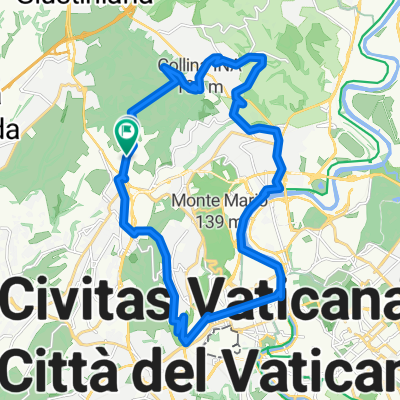
Insugherata - Oriolo Romano - Cassia - Corso Francia - Tevere - Monte Ciocci - Monte Mario
- 25.8 km
- 242 m
- 242 m
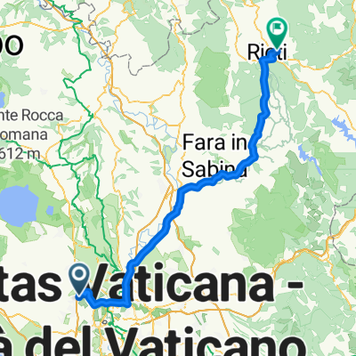
- Valle Santa, Lazio, Italy
A cycling route starting in Valle Santa, Lazio, Italy.
Overview
created this 15 years ago
Route quality
Road
26.2 km
(56 %)
Quiet road
3.3 km
(7 %)
Paved
32.2 km
(69 %)
Unpaved
0.9 km
(2 %)
Asphalt
32.2 km
(69 %)
Ground
0.9 km
(2 %)
Undefined
13.5 km
(29 %)
Continue with Bikemap
You would like to ride ottavia-formello-ottavia or customize it for your own trip? Here is what you can do with this Bikemap route:
Free trial for 3 days, or one-time payment. More about Bikemap Premium.
Discover more Premium features.
Get Bikemap PremiumFrom our community
Open it in the app