

Aller Normandie Vélo 2017
A cycling route starting in Fourqueux, Île-de-France Region, France.
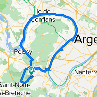
Overview
About this route
- -:--
- Duration
- 299.9 km
- Distance
- 507 m
- Ascent
- 581 m
- Descent
- ---
- Avg. speed
- ---
- Max. altitude

Route quality
Waytypes & surfaces along the route
Waytypes
Quiet road
87 km
(29 %)
Road
45 km
(15 %)
Surfaces
Paved
173.9 km
(58 %)
Unpaved
30 km
(10 %)
Asphalt
170.9 km
(57 %)
Ground
18 km
(6 %)
Route highlights
Points of interest along the route

Point of interest after 68.5 km
Camping des Fosses Rouges ** à Saint-Marcel http://www.cape27.fr/Tourisme/Camping

Point of interest after 152.6 km
Château de la Croix bizet 02 35 18 11 05 http://www.chateau-dela-croix-bizet.com/ ROUTE DE LA BOUILLE - La maison brulée 76530 MOULINEAUX
Point of interest after 153.6 km
Bac de la Bouille http://www.seinemaritime.fr/docs/horaires-bacs.pdf
Point of interest after 226.9 km
Camping Au Soleil d'Or 26 Rue de l'Estuaire, 76330 Petiville 02 35 39 92 07
Point of interest after 233.8 km
Bac de Quillebeuf http://www.seinemaritime.fr/docs/horaires-bacs.pdf
Continue with Bikemap
Use, edit, or download this cycling route
You would like to ride Aller Normandie Vélo 2017 or customize it for your own trip? Here is what you can do with this Bikemap route:
Free features
- Save this route as favorite or in collections
- Copy & plan your own version of this route
- Split it into stages to create a multi-day tour
- Sync your route with Garmin or Wahoo
Premium features
Free trial for 3 days, or one-time payment. More about Bikemap Premium.
- Navigate this route on iOS & Android
- Export a GPX / KML file of this route
- Create your custom printout (try it for free)
- Download this route for offline navigation
Discover more Premium features.
Get Bikemap PremiumFrom our community
Other popular routes starting in Fourqueux
 Aller Normandie Vélo 2017
- Distance
- 299.9 km
- Ascent
- 507 m
- Descent
- 581 m
- Location
- Fourqueux, Île-de-France Region, France
 De Rue Maurice Berteaux 4, Fourqueux à Rue d'Alsace 14bis, Saint-Germain-en-Laye
- Distance
- 4.7 km
- Ascent
- 36 m
- Descent
- 82 m
- Location
- Fourqueux, Île-de-France Region, France
 De Rue des Néfliers 4, Fourqueux à Rue d'Alsace 12, Saint-Germain-en-Laye
- Distance
- 5.7 km
- Ascent
- 54 m
- Descent
- 128 m
- Location
- Fourqueux, Île-de-France Region, France
 De Rue Maurice Berteaux 4, Fourqueux à Route de Saint-Nom 104, L'Étang-la-Ville
- Distance
- 5.2 km
- Ascent
- 154 m
- Descent
- 199 m
- Location
- Fourqueux, Île-de-France Region, France
 Itinéraire à grande vitesse en
- Distance
- 39.3 km
- Ascent
- 275 m
- Descent
- 256 m
- Location
- Fourqueux, Île-de-France Region, France
 Forêt de Marly-Le-Roi
- Distance
- 11.1 km
- Ascent
- 112 m
- Descent
- 115 m
- Location
- Fourqueux, Île-de-France Region, France
 test bike
- Distance
- 44.6 km
- Ascent
- 335 m
- Descent
- 334 m
- Location
- Fourqueux, Île-de-France Region, France
 Hazeville
- Distance
- 75.3 km
- Ascent
- 476 m
- Descent
- 479 m
- Location
- Fourqueux, Île-de-France Region, France
Open it in the app